Nordic maps

Severské mapy

Hledáte přesnou a podrobnou mapu pro svou dovolenou ve Skandinávii? Chystáte se na trek po norských horách? Vyberte si z našich map, které dovážíme přímo od norských vydavatelů. Především turistické mapy jsou velmi odolné rozmarům počasí. Máme i přehledné automapy s českými vysvětlivkami.

Severské mapy

Grid
List

There are 132 products.

Showing 1-20 of 132 item(s)

Hoyfjellskart Senja: Keipen, Tredjefjellet & Kvanan -...

Tourist map showing the northwestern part of Senja Island at a scale of 1:25,000. Useful especially if you are planning a trip to the top of Keipen (938 m), Breitinden (1001 m) or Kvanan (963 m) or you want to leave the marked paths and go into the mountains on your own fist. Thanks to the Tyvek® material, it is completely waterproof and highly...
Kč 549
In Stock
View Detail

Turkart Senja - tourist map 1:50,000

This double-sided tourist map covers the entire island of Senja with its high, steep mountains and typical alpine feel. It is part of Calazo's modern map series with unique terrain information based on laser scanning from aircraft. Thanks to the Tyvek® material, it is completely waterproof and highly tear-resistant.
Kč 549
In Stock
View Detail

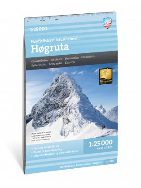
Hoyfjellskart Hogruta - tourist map 1:25.000

Hogruta Jotunheimen leads through the most beautiful mountain passes and the highest peaks of Scandinavia. This 1:25,000 scale alpine map contains terrain information based on laser scanning from an aircraft. The map shows the "original" Hogwarts from 2014, as well as various frequently used alternatives. Thanks to the Tyvek® material, it is completely...
Kč 549
In Stock
View Detail

Mapa celého Švédska 1:800 000 - Sverige Easy Map

Jednostranná turistická mapa obsahující turistické a cykloturistické značení, dále zaznačeny tábořiště, kempy, kostely, turistická informační centra, hranice NP, kulturní a historické památky. Nejzajímavější lokality jsou označeny číslem a samostatně popsány na rubové straně v textové části (švédsky, anglicky, německy). měřítko 1:800 000
Kč 351
In Stock
View Detail

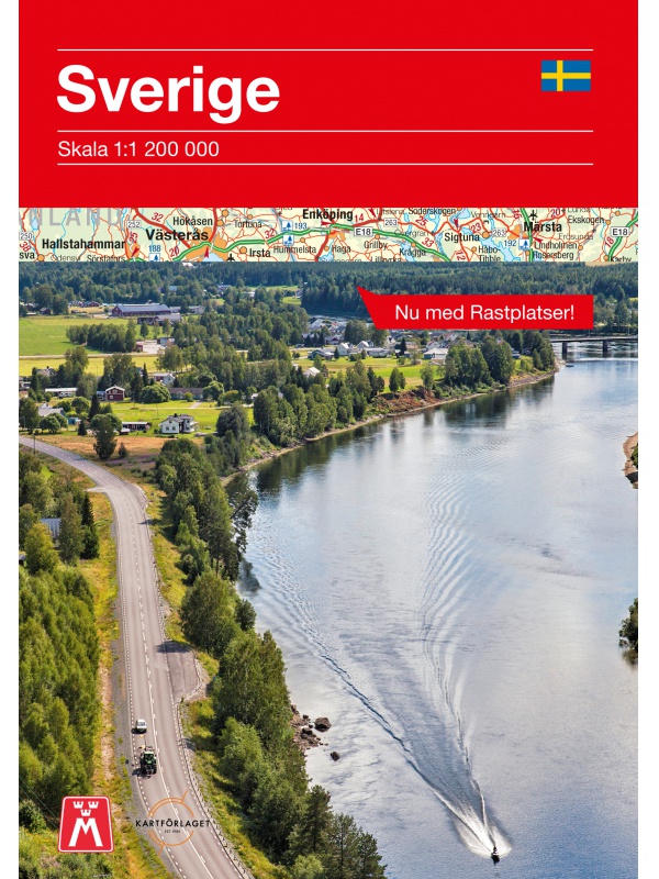
Comprehensive map of Sweden - Sverige med rasteplasser...

A simplified map of Sweden with roads, distances and landscape boundaries at a scale of 1:1.2 mil. Developed together with M-Sverige with the Tafikverket agency's database of Swedish rest areas. A total of 313 rest areas are marked on the map and named in the register. Traffic maps of Stockholm, Gothenburg and Malmö. Published in Sweden, information in...
Kč 197
In Stock
View Detail

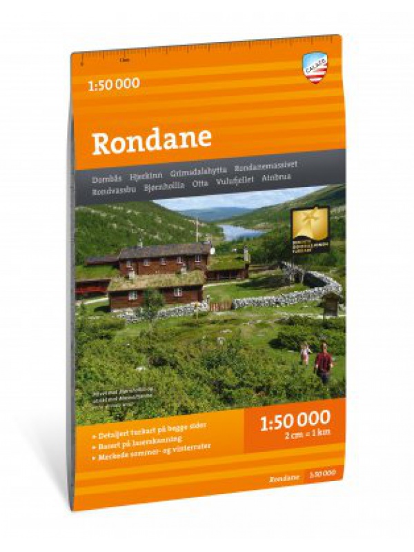
Turkart Rondane - tourist map 1:50,000

This double-sided hiking map covers the whole of Norway's oldest national park, Rondane, with classic hiking destinations such as Rondvassbu, Bjornhollia, Rondeslottet (2178 nm) and Hogronden (2115 nm). The map covers all the most popular mountain areas, marked hiking trails in the vicinity, DNT cabins and private accommodation cabins. It shows marked...
Kč 549
Out-of-Stock

Nordkinnhalvoya - tourist map 1:60,000

Tourist map of the northernmost peninsula of mainland Europe, Nordkinnhalvoya, and the Finnmark region. A good hiking map is a great helper when planning nice hikes in the Finnmark region. Texts only in Norwegian, clear information and legend also in English. Thanks to the Tyvek® material, it is completely waterproof and highly tear-resistant.
Kč 549
In Stock
View Detail

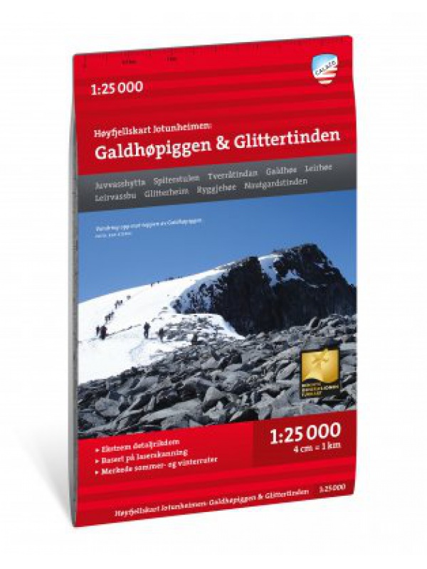
Hoyfjellskart Jotunheimen: Galdhopiggen & Glittertinden -...

The highly detailed hiking map of Scandinavia's highest mountains is unique in that the terrain information on the map is based on laser scanning from an aircraft. Mountain slopes, waterways, glaciers and other natural elements are shown in much more detail with this technology. The map also contains more trails than any previous map of the same area. The...
Kč 549
In Stock
View Detail

Kungsleden: Kvikkjokk–Adolfström - tourist map 1:50,000

Tourist map of part of the Kungsleden (King's trail) hiking trail in northern Sweden, approximately 440 kilometers long, between Abisko National Park in the north and Hemavan in the south. Thanks to the Tyvek® material, it is completely waterproof and highly tear-resistant. Tyvek will not wear out in the crease or lose color with use.
Kč 549
In Stock
View Detail

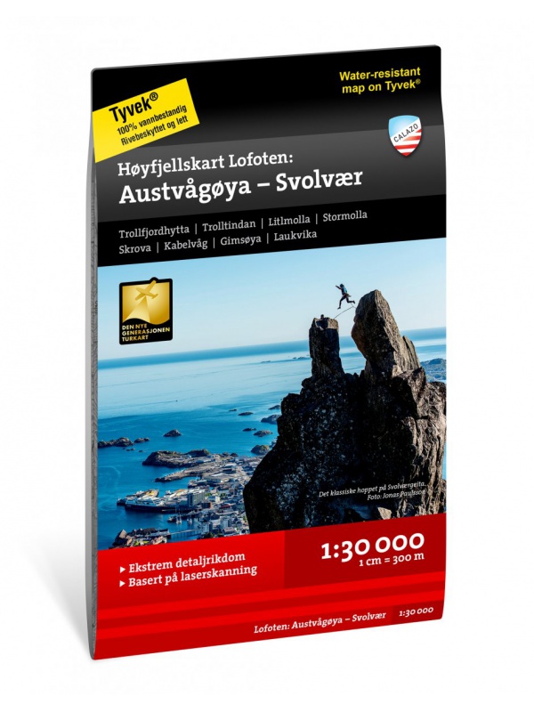
Hoyfjellskart Lofoten: Austvagoya - Svolvar - tourist map...

One of three unique maps with lots of details that have never been shown on a Lofoten map. The terrain information on the map is based on a laser scan from an airplane. For the first time, mountain slopes, larger rocks, streams and glaciers appear with an accuracy that corresponds to reality. The 1:30,000 scale map provides good support for those who go...
Kč 549
In Stock
View Detail

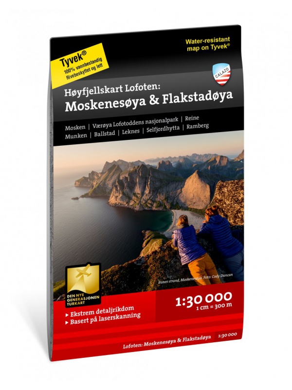
Hoyfjellskart Lofoten: Moskenes - tourist map Lofoten...

One of three unique maps with lots of details that have never been shown on a Lofoten map. The terrain information on the map is based on a laser scan from an airplane. For the first time, mountain slopes, larger rocks, streams and glaciers appear with an accuracy that corresponds to reality. The 1:30,000 scale map provides good support for those who go...
Kč 549
Out-of-Stock

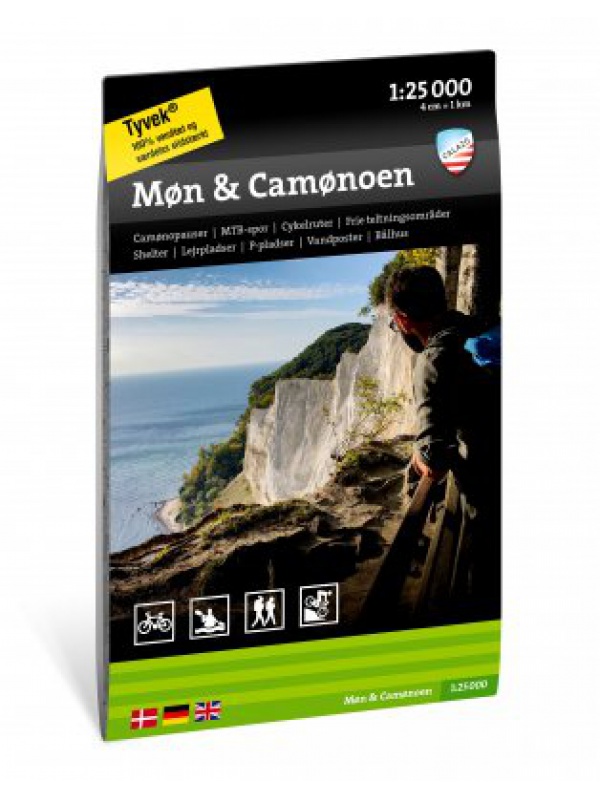
Mon & Camonoen - tourist map 1:25,000

Tourist map focused on the Danish island of Mon, including local hiking trails and mountain bike routes in Mons Klint. You will also find a detailed description of the 'Camonoen' tourist route and all its stages with camo breaks, distances and tips on accommodation and overnight stays. Ideal for a cycling holiday on Mon. Thanks to the Tyvek® material, it...
Kč 494
In Stock
View Detail