Turkart Rondane - tourist map 1:50,000
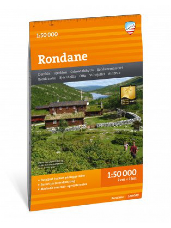
This double-sided hiking map covers the whole of Norway's oldest national park, Rondane, with classic hiking destinations such as Rondvassbu, Bjornhollia, Rondeslottet (2178 nm) and Hogronden (2115 nm). The map covers all the most popular mountain areas, marked hiking trails in the vicinity, DNT cabins and private accommodation cabins. It shows marked...
Kč 454
In Stock
Turkart Senja - tourist map 1:50,000
This double-sided tourist map covers the entire island of Senja with its high, steep mountains and typical alpine feel. It is part of Calazo's modern map series with unique terrain information based on laser scanning from aircraft. Thanks to the Tyvek® material, it is completely waterproof and highly tear-resistant.
Kč 454
In Stock
Jotunheimen West - tourist map 1:50 000 Phone Maps
Detailed tourist map of the western part of the Norwegian Jotunheimen National Park and the southern and central part of the Breiheimen National Park. Made of weather-resistant paper. Scale 1:50 000. You can upload the map for free to your mobile phone using PhoneMaps!
Kč 363
In Stock
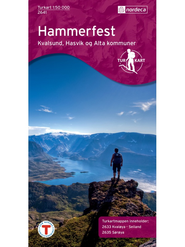
Hammerfest Tourist Map, Kvaloya + Soroya, 1: 50.000 - 2 maps
Two maps in one package. Detailed tourist map of the fishing area of Soroya, Kvaloya, Hammerfest. It contains parts of the districts of Kvalsund, Hasvik and Alta in the north of Norway. Detailed map in scale 1:50 000. Detailed drawing of hiking trails and mountain huts. Suitable for navigating on and off marked trails. Released in Norway.
Kč 999
In Stock
Lillehammer - Rena 1:50 000 TOPO 3000
Detailed tourist map of the famous Birkebeiner Lillehammer - Rena. Made of weather-resistant paper. Double-sided, scale 1:50 000. Includes over 3000 km2. Released in Norway.
Kč 635
In Stock
Breheimen nasjonalpark map 1:50 000 TOPO 3000
Detailed tourist map of Breheimen National Park. Includes known areas of Sognefjellet - Galdhopiggen. Made of weather-resistant paper. Double-sided, scale 1:50 000. Includes over 3000 km2. Released in Norway.
Kč 635
In Stock
Jostedalsbreen 1:50 000 TOPO 3000
Detailed tourist map of the largest European glacier Jostedalsbreen. Made of weather-resistant paper. Double-sided, scale 1:50 000. Includes over 3000 km2. Released in Norway.
Kč 635
In Stock
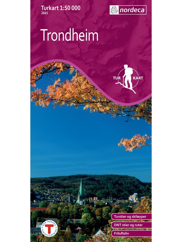
Trondheim 1:50.000
Detailed map of Trondheim and region. Detailed map in 1:50 000 scale. Detailed mapping of hiking trails and mountain chalets. Suitable for navigation on and off marked roads. Released in Norway.
Kč 545
zašleme do 24 hodin
Trolltunga, Odda - Ullensvang 1:50.000
Detailed map of Trolltunga, Odda - Ullensvang. Detailed map in 1:50 000 scale. Detailed mapping of hiking trails and mountain chalets. Suitable for navigation on and off marked roads. Released in Norway.
Kč 590
zašleme do 24 hodin
Oslomarka CK41 - summer hiking map 1:50 tis.
Detailed summer tourist map Oslomark. Includes Kjekstadmarka, Vestmarka, Barumsmarka, Krokskogen, Nordmarka, Romeriksasene, Lillomarka and Gjellerasen, Ostmarka on a scale of 1:50 000. Released in Norway.
Kč 590
In Stock
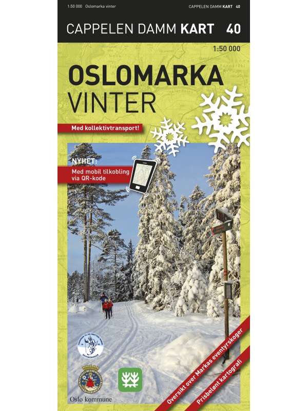
Oslomarka CK40 - winter map 1:50 tis.
Detailed winter tourist map Oslomark. Includes Kjekstadmarka, Vestmarka, Barumsmarka, Krokskogen, Nordmarka, Romeriksasene, Lillomarka and Gjellerasen, Ostmarka on a scale of 1:50 000. Released in Norway.
Kč 590
In Stock
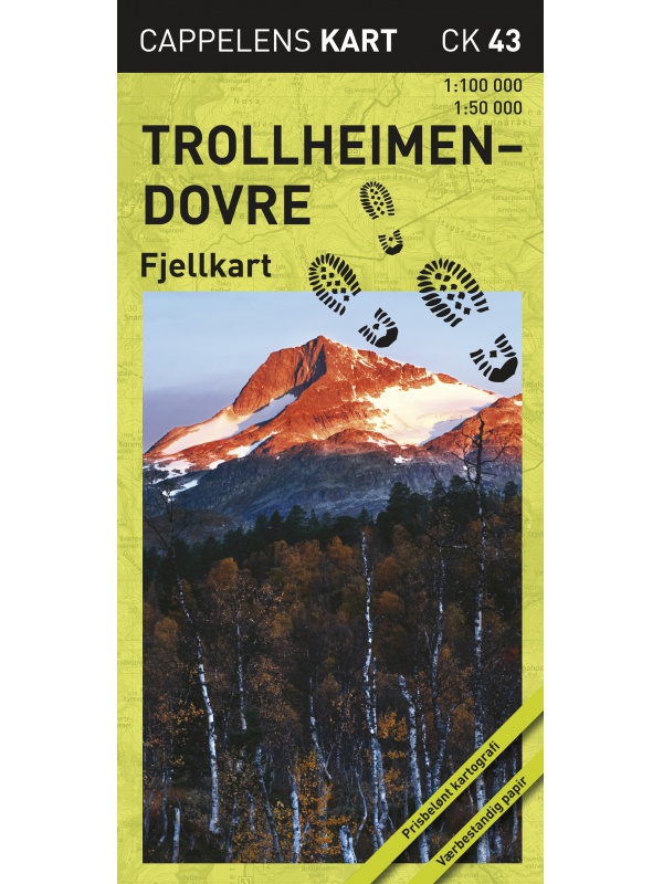
Trollheimen-Dovre CK43 - hiking map 1:100/1:50000.
A detailed tourist map of the popular areas of Hemsedal, Geilo and Rallarvegen or Aurlandsdalen. A clear part on one side of a scale of 1: 100,000, more detailed for the Hemsedal region, Geilo at a scale of 1:50 000. Released in Norway.
Kč 590
In Stock
Hardangervidda east - tourist map 1:50 000 Phone Maps
Detailed tourist map of the eastern part of the Norwegian Hardangervidda National Park. Made of weather-resistant paper. Scale 1:50 000. You can upload the map for free to your mobile phone using PhoneMaps!
Kč 363
In Stock
Hardangervidda west - tourist map 1:50 000 Phone Maps
Detailed tourist map of the western part of the Norwegian Hardangervidda National Park. Made of weather-resistant paper. Scale 1:50 000. You can upload the map for free to your mobile phone using PhoneMaps!
Kč 363
In Stock
Roros - Feragen Tourist Map 1:50 000
A detailed map of Roros - Feragen. Winter ski trails are also marked. Suitable for navigating on and off marked trails. Released in Norway.
Kč 590
In Stock
Balestrand Tourist Map 1:50 000
A detailed tourist map of the Sognefjord, includes Balestrand, Vangsnes, Hella, Dragsvik, Gaularfjellet Mountain Road. Detailed map in 1:50 000 scale. Suitable for navigating on and off marked trails. Released in Norway.
Kč 590
In Stock
Map of Nordkapp - Norge Serien 1:50 000
Map of Nordkappa, the northernmost Cape of Norway on the island of Mageroya. contains the town of Honningsvag, the fishing villages kamoyvaer, Gjervaer, Skarsvag and the route to Knivskjelodden. Detailed scale 1:50 000.
Kč 635
In Stock
Beitostolen tourist map 1:50 000
Detailed tourist map of the popular area for downhill and cross-country skiers Beitostolen. The bonus map also includes the crossing of the Besseggen ridge and the hike to the Bitihorn mountain in Jotunheimen Park. Detailed map in 1:50 000 scale. Suitable for navigating on and off marked trails. Released in Norway.
Kč 590
In Stock
Tourist map Romsdalsfjella Nord 1:50 000
A detailed map of Romsdalsfjella, including Trollstigen, Romsdalshornet, Andaslnes, Isfjorden is a detailed map on 1:50 000 scale. Suitable for navigating on and off marked trails. Released in Norway.
Kč 590
In Stock