Sweden maps

Švédsko

Podrobné mapy Švédska rozdělené do několika oblastí. V nabídce najdete i přesnou mapu legendárního běžeckého závodu Vasaloppet nebo švédských národních parků.

Švédsko

Grid
List

There are 35 products.

Showing 1-20 of 35 item(s)

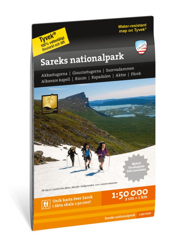
Sarek National Park - turistická mapa 1:50.000

Podrobná turistická mapa švédského národního parku Sarek. Vhodná pro turistické průvodce, cestovatele a dobrodruhy. Vyznačeny i cesty pro sněžné skútry. Mapa je vytištěna na papír, který odolá počasí. Texty pouze ve švédštině, přehledné informace a legenda i v angličtině a němčině.
Kč 454
In Stock
View Detail

Superatlas Skandinávie, autoatlas 1:250 000/1:400 000

Nejnovější autoatlas celé Skandinávie (Dánsko, Norsko, Švédsko, Finsko). Měřítko pro Dánsko 1:200 tis., Norsko a Švédsko 1:250 000, Finsko, severní část Norska a Švédska 1:400 000. K tomu 33 plánků měst, bohatý rejstřík míst, označené kempyvzdálenosti v km
Kč 862
In Stock
View Detail

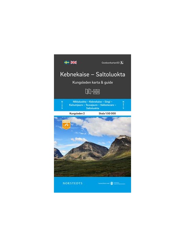
Map KUNGSLEDEN Kebnekaise - Saltoluokta 1:50 000

One-sided tourist map with hiking and biking trails, camping sites, camps, churches, tourist information centers, NP borders, cultural and historical monuments. The most interesting sites are marked with a number and separately described on the reverse side in a text section (Swedish, English).
Kč 545
In Stock
View Detail

Map Sweden 3 - Östra Svealand - 1: 250,000

Part 3 of the detailed map of Sweden, scale 1: 250,000, includes the southeast of Sweden - Östra Svealand, includes the capital Stockholm, then Uppsala - Norrköping - Linköping and the Falun mountain resort. Folded autoturistic map. Released in Sweden.
Kč 290
In Stock
View Detail

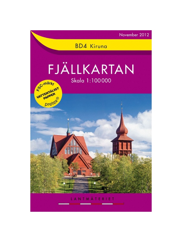
BD4 Kiruna Fjällkarta 1:100.000

A detailed tourist map of the area around the Swedish city of Kiruna. Suitable for tourist guides, travelers and adventurers. Trails for snowmobiles are also marked. The map is printed on paper that resists weather. Texts only in Swedish, clear information and legends in English and German.
Kč 408
zašleme do 24 hodin
View Detail

Högalpin karta Kebnekaise - turistická mapa 1:15.000

Jedná se o unikátní mapu s množstvím detailů, které nebyly dosud nikdy zobrazeny na mapě nejvyšší hory Švédska. Informace o terénu v mapě jsou založeny na leteckém laserovém skenování. Poprvé se útesy, větší skály, lesy a vodní cesty objevují s přesností, která skutečně odpovídá skutečnosti. Současný rozsah ledovců a zlomové zóny byly vytvořeny ve...
Kč 408
In Stock
View Detail

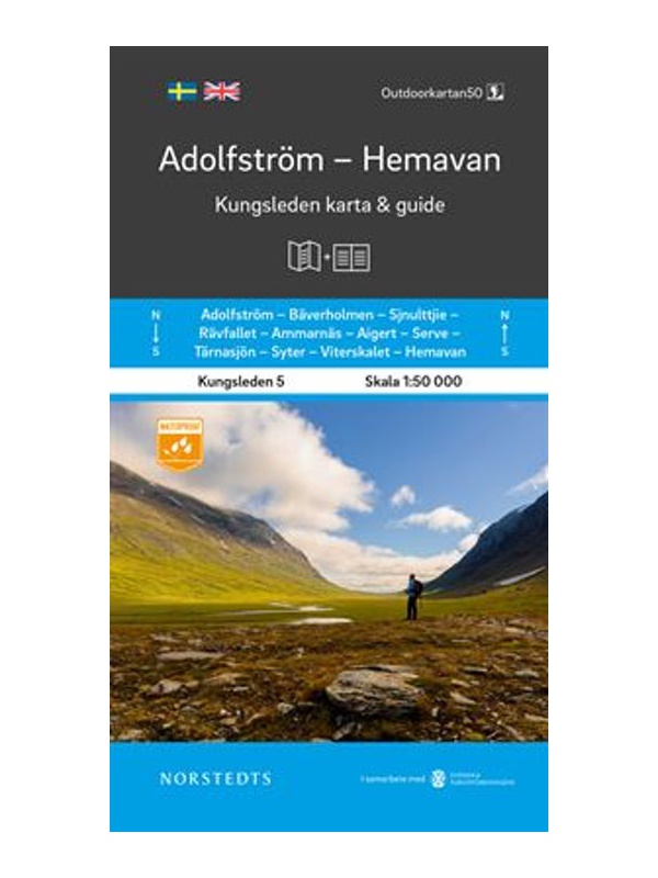
Kungsleden: Kvikkjokk–Adolfström - turistická mapa 1:50.000

Turistická mapa části turistické trasy Kungsleden (King´s trail) v severním Švédsku, přibližně 440 kilometrů dlouhá, mezi Národním parkem Abisko na severu a Hemavan na jihu. Díky materiálu Tyvek® je zcela odolná vodě a vysoce odolná proti roztržení. Tyvek se při používání neopotřebí v záhybu ani neztratí barvu.
Kč 454
In Stock
View Detail

Comprehensive map of Sweden - Sverige med rasteplasser...

A simplified map of Sweden with roads, distances and landscape boundaries at a scale of 1:1.2 mil. Developed together with M-Sverige with the Tafikverket agency's database of Swedish rest areas. A total of 313 rest areas are marked on the map and named in the register. Traffic maps of Stockholm, Gothenburg and Malmö. Published in Sweden, information in...
Kč 163
In Stock
View Detail

BD8 Kebnekaise - Saltoluokta - Tourist Map 1: 100,000

Detailed tourist map Kebnekaise - Saltoloukta. Suitable for tourist guides, travelers and adventurers. Roads for snowmobiles are also marked. The map is printed on paper that resists weather. Texts only in Swedish, well-arranged information and legend in English and German.
Kč 408
In Stock
View Detail

BD10 Sarek National Park - tourist map 1: 100,000

Detailed tourist map of Sarek National Park, Sweden. Suitable for tourist guides, travelers and adventurers. Roads for snowmobiles are also marked. The map is printed on paper that resists weather. Texts only in Swedish, well-arranged information and legend in English and German.
Kč 408
In Stock
View Detail

Map KUNGSLEDEN Saltoluokta - Kvikkjokk 1:50 000

One-sided tourist map with hiking and biking trails, camping sites, camps, churches, tourist information centers, NP borders, cultural and historical monuments. The most interesting sites are marked with a number and separately described on the reverse side in a text section (Swedish, English).
Kč 545
In Stock
View Detail

Map Malmö 1:10 000 - Tourist Map

Detailed autotourism map of Malmö containing tourist and cycling markings, further marked by public transport routes, camps, camps, churches, tourist information centers, cultural and historical monuments. Scale 1:17 000, Published in Sweden in 2019.
Kč 136
In Stock
View Detail