Do Norska jedině s mapou od nás. Dovážíme přesné a podrobné mapy vydané v Norsku. Obsahují aktuální stavy silnic i plánované nové úseky. Dovíte se kde je třeba zastavit a kudy povede trasa vašeho výletu.
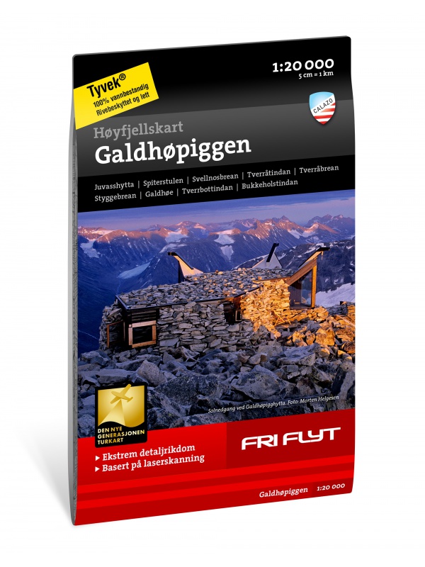
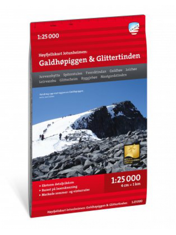
Detailed tourist map of the highest mountain Scandinavia Galdhopiggen in Jotunheimen Park. Drawn access roads from the catchment of Juvasshytta and the village of Spiterstulen. A detailed map in the 1:25 000 scale. Winter skiing routes are also marked. Suitable for navigation on and off marked roads. Released in Norway.
Detailed tourist map of Hurrungane mountains in the Jotunheimen park area near the 55 Sognefjellet road. Includes Fannaraki Glacier, Sognefjellshytta, Fannarakhytta, Grandalen, Ingjerdbu, Vettli Gard. Detailed map in 1:25 000 scale. Suitable for navigating on and off marked trails. Released in Norway.
Detailed tourist map of the second highest mountain in Scandinavia Glittertinden in Jotunheimen park. Drawn access paths from Glitterheim hut. Detailed map in 1:25 000 scale. Suitable for navigating on and off marked trails. Released in Norway.
The most detailed tourist map of Romsdalseggen, includes Trollstigen, Trollveggen, Romsdalshornet, Andaslnes, Isfjorden Detailed map in 1:25 000 scale. Suitable for navigating on and off marked trails. Released in Norway.
A detailed tourist map of the popular march over 7 peaks around Bergen - Bergen - 7 fjellsturen. Detailed map at 1:25 000. Released in Norway. Explanations in Norwegian and English. Summary information about the map in English.
Detailed tourist map of the Bessegen ridge in Jotunheimen Park. A detailed map in the 1:25 000 scale. Winter skiing routes are also marked. Suitable for navigation on and off marked roads. Released in Norway.
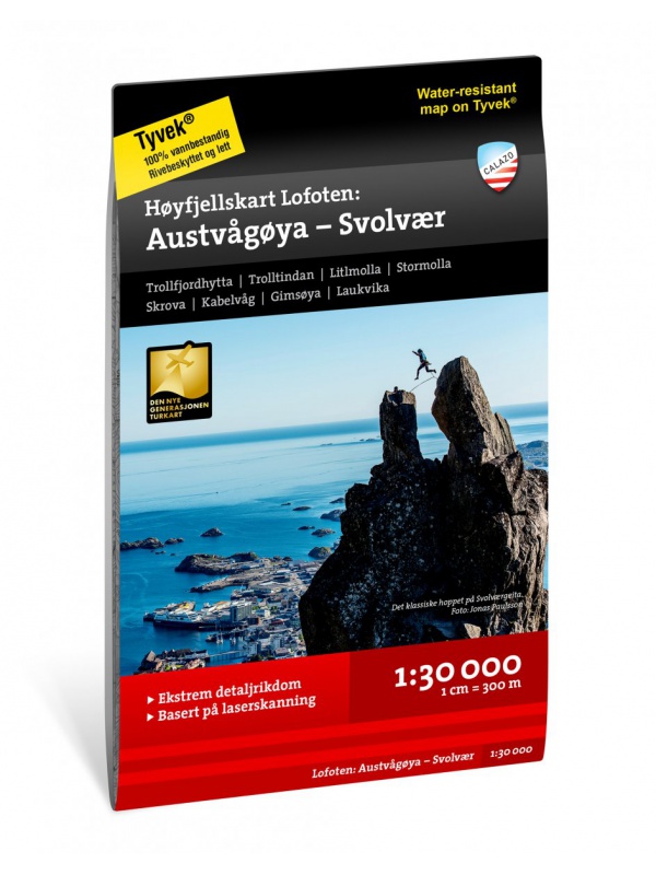
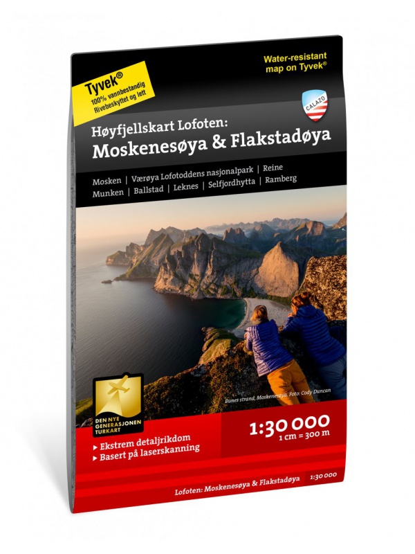
One of three unique maps with lots of details that have never been shown on a Lofoten map. The terrain information on the map is based on a laser scan from an airplane. For the first time, mountain slopes, larger rocks, streams and glaciers appear with an accuracy that corresponds to reality. The 1:30,000 scale map provides good support for those who go...