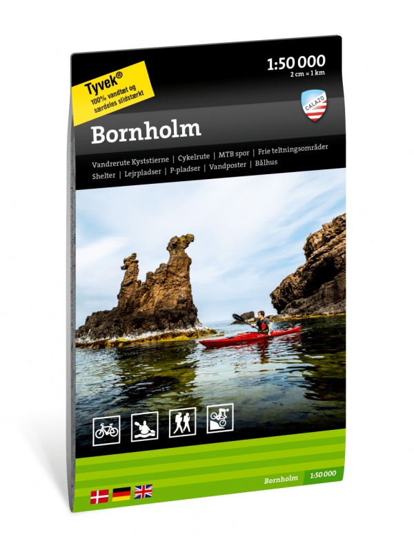
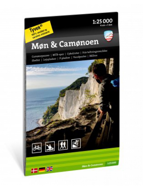
Do not underestimate the correct choice of the map even in flat Denmark. Clear road maps will make your journey more pleasant and will enrich you with other interesting places to stop.
Folding map of the whole of Scandinavia in a scale of 1: 2,000,000. Register of places and transit map of capitals. In addition to Norway, Sweden, Finland and Denmark, it also covers the Baltics, part of Germany, Poland and Russia.
Detailed tourist map of the Swedish national park Sarek. Suitable for tourist guides, travelers and adventurers. Roads for snowmobiles are also marked. The map is printed on weather-resistant paper. Texts only in Swedish, clear information and legend also in English and German.
The 1: 400,000 scale (1 cm = 4 kilometers) shows the network of roads and motorways with transport distances, all locations and selected thematic content (castles, castles, monasteries, camps, etc.). Part of the map is forest and shaded terrain. You can find the seat register on the reverse side.
Scandinavian wall map in scale 1: 2,000,000. Site index and main city transit planes, wall mount rails. This is the original map of Scandinavia that was not folded for production and remained rolled up and fitted with rails. The map is wrapped in a plastic tube.