Special maps Norway

Speciální mapy Norsko

Seženeme vám mapy těch nejzapadlejších koutů Norska. Pokud je nemáme v nabídce, napište nám a dovezeme vám ji.

Speciální mapy Norsko

Grid
List

There are 47 products.

Showing 1-20 of 47 item(s)

Varanger, Nasjonale turistveger

Map of the National Autoturist Route along the Varang peninsula in the 1 / 100,000 scale. There are also 5 quality views from this area of ​​Norway. The stacked map is in the hardboard cover. Information in English, Norwegian and German
Kč 659
Out-of-Stock

Valdresflye, Nasjonale turistveger

Map of the National Autoturist Route through the Valdresfly Pass at a scale of 1: 50,000. There are also 5 quality views from this area of ​​Norway. The stacked map is in the hardboard cover. Information in English, Norwegian and German.
Kč 659
In Stock
View Detail

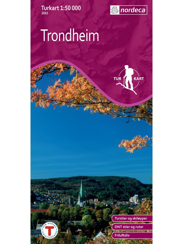
Trondheim 1:50.000

Detailed map of Trondheim and region. Detailed map in 1:50 000 scale. Detailed mapping of hiking trails and mountain chalets. Suitable for navigation on and off marked roads. Released in Norway.
Kč 659
zašleme do 24 hodin
View Detail

Trolltunga, Odda - Ullensvang 1:50.000

Detailed map of Trolltunga, Odda - Ullensvang. Detailed map in 1:50 000 scale. Detailed mapping of hiking trails and mountain chalets. Suitable for navigation on and off marked roads. Released in Norway.
Kč 714
zašleme do 24 hodin
View Detail

Tourist map Romsdalseggen 1:25 000

The most detailed tourist map of Romsdalseggen, includes Trollstigen, Trollveggen, Romsdalshornet, Andaslnes, Isfjorden Detailed map in 1:25 000 scale. Suitable for navigating on and off marked trails. Released in Norway.
Kč 714
In Stock
View Detail

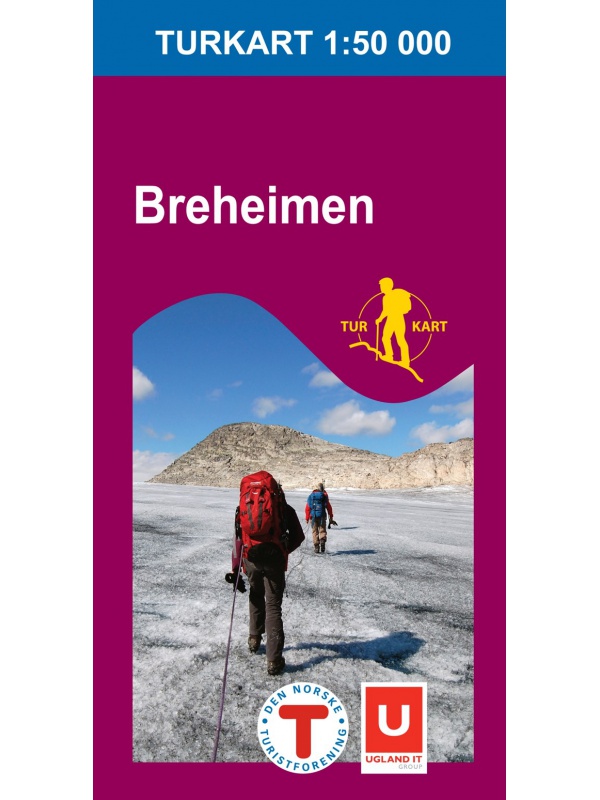
Tourist Map Breheimen 1: 50.000

Detailed tourist map of the Breheimen National Park. Detailed map in 1:50 000 scale. Detailed mapping of hiking trails and mountain chalets. Suitable for navigation on and off marked roads. Released in Norway.
Kč 659
In Stock
View Detail

Tourist Map Besseggen 1: 25.000

Detailed tourist map of the Bessegen ridge in Jotunheimen Park. A detailed map in the 1:25 000 scale. Winter skiing routes are also marked. Suitable for navigation on and off marked roads. Released in Norway.
Kč 659
Out-of-Stock

Ryfylke, Nasjonale turistveger

Map of the National Autopathic Route by the Ryfylke Region above Stavanger at a scale of 1: 105,000. There are also 5 quality views from this area of ​​Norway. The stacked map is in the hardboard cover. Information in English, Norwegian and German.
Kč 659
Out-of-Stock

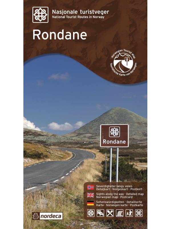
Rondane, Nasjonale turistveger

Map of the National Autoturist Route through the Rondane National Park at a scale of 1: 55,000. There are also 5 quality views from this area of ​​Norway. The stacked map is in the hardboard cover. Information in English, Norwegian and German.
Kč 659
In Stock
View Detail

Rallarvegen 1:50.000

Detailed tourist and cycle map of the Rallarvegen area. Detailed map in 1:50 000 scale. Detailed mapping of hiking trails and mountain chalets. Suitable for navigation on and off marked roads. Released in Norway.
Kč 659
zašleme do 24 hodin
View Detail

Oyer - Lillehammer 1:50.000

Detailed map of Oyer - Lillehammer. Detailed map in 1:50 000 scale. Detailed mapping of hiking trails and mountain chalets. Suitable for navigation on and off marked roads. Released in Norway.
Kč 659
zašleme do 24 hodin
View Detail

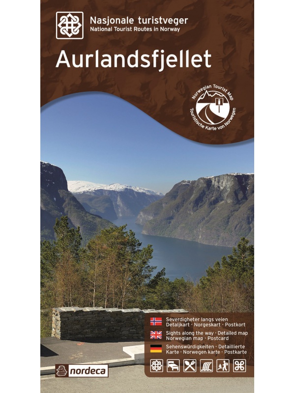
Mapa Aurlandsfjellet, Nasjonale turistveger

Aurlandsfjellet National Road Map (Route No. 243) at a scale of 1: 50,000. It features famous places like Stegastein, Naeroeyfjord, the Laerdal tunnel. There are also 5 quality views from this area of ​​Norway. The stacked map is in the hardboard cover. Information in English, Norwegian and German.
Kč 659
In Stock
View Detail

Map Lofoten, Nasjonale turistveger

Map of the National Car Route on the Lofoten Archipelago at a scale of 1: 100,000. There are also 5 quality views from this area of ​​Norway. The stacked map is in the hardboard cover. Information in English, Norwegian and German
Kč 659
Out-of-Stock