List of products by brand Calazo
Turkart Lofoten - turistická mapa 1:50.000
S mapovými zobrazeními na obou stranách pokrývá tato mapa celé Lofoty.
Mapa je součástí moderní kartografické série od Calazo, která nabízí jedinečné terénní informace založené na laserovém skenování z letadla a lepší přesnost detailů. Použili jsme mimo jiné detailní letecké snímky k opravě všech stezek v oblasti. Také jsme identifikovali a přidali...
Kč 549
In Stock
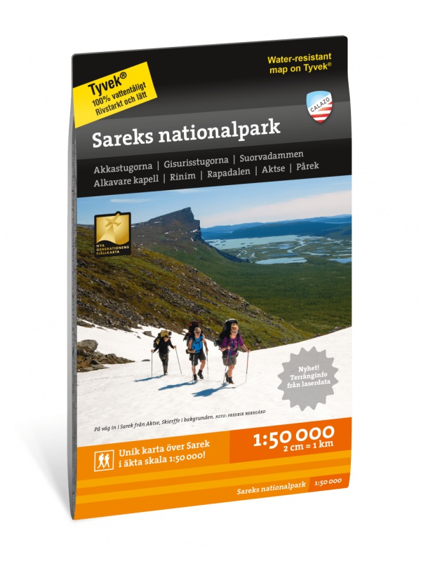
Sarek National Park - turistická mapa 1:50.000
Podrobná turistická mapa švédského národního parku Sarek. Vhodná pro turistické průvodce, cestovatele a dobrodruhy. Vyznačeny i cesty pro sněžné skútry. Mapa je vytištěna na papír, který odolá počasí. Texty pouze ve švédštině, přehledné informace a legenda i v angličtině a němčině.
Kč 549
In Stock
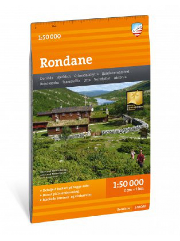
Turkart Rondane - tourist map 1:50,000
This double-sided hiking map covers the whole of Norway's oldest national park, Rondane, with classic hiking destinations such as Rondvassbu, Bjornhollia, Rondeslottet (2178 nm) and Hogronden (2115 nm). The map covers all the most popular mountain areas, marked hiking trails in the vicinity, DNT cabins and private accommodation cabins. It shows marked...
Kč 549
In Stock
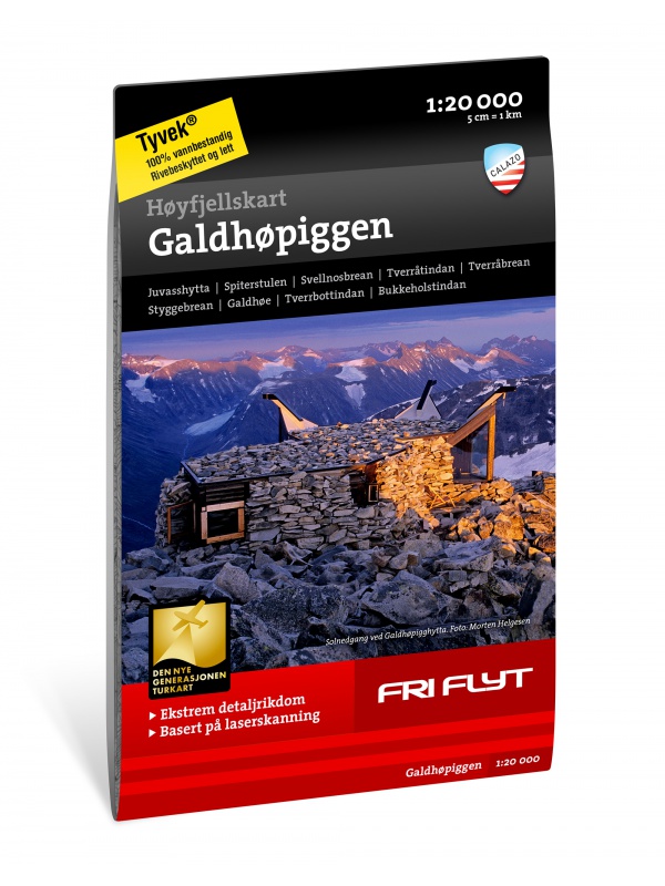
Hoyfjellskart Jotunheimen: Galdhopiggen + Glittertind -...
A unique map with a lot of detail that has never been shown before in a map of Norway's highest mountain range. It is ideal for those planning to climb Galdhopiggen (2469 m). Terrain information on the map is based on laser scanning from an aircraft. For the first time, mountain slopes, larger rocks, watercourses and glaciers appear with an accuracy that...
Kč 659
In Stock
Hoyfjellskart Jotunheimen: Besseggen & Bygdin -...
Toto je jedno z pěti unikátních map s detailním zobrazením, které dosud nebylo nad Jotunheimen zobrazeno. Terénní informace na mapě jsou založeny na laserovém skenování z letadla. Skalnaté svahy, vodní toky, ledovce a další přírodní prvky jsou díky této technologii mnohem podrobněji zobrazeny. Mapa obsahuje také více stezek než jakýkoli jiný předchozí...
Kč 549
In Stock
Turkart Lillehammer - turistická mapa 1:50.000
S mapovými zobrazeními na obou stranách pokrývá tato mapa celé okolí Lillehammeru.
Mapa je součástí moderní kartografické série od Calazo, která nabízí jedinečné terénní informace založené na laserovém skenování z letadla a lepší přesnost detailů. Použili jsme mimo jiné detailní letecké snímky k opravě stezek v oblasti. Také jsme identifikovali a...
Kč 549
In Stock
Turkart Hardangervidda nord - turistická mapa 1:50.000
S mapovými zobrazeními na obou stranách pokrývá tato mapa severní část Hardangerviddy mezi chatami Litlos a Marbu na jihu a státní silnicí 7 na severu. Mezi klasické turistické cíle zde patří Rauhelleren, Sandhaug a snadno dostupné výlety k Voringsfossenu a Halnekollenu.
Tato mapa je součástí moderní kartografické série od Calazo, která nabízí...
Kč 549
In Stock
Turkart Hardangervidda vest, Trolltunga & Folgefonna -...
S mapovými zobrazeními na obou stranách pokrývá tato mapa západní části Hardangerviddy, Sorfjorden a národní park Folgefonna s oblíbenými turistickými cíli, jako jsou Trolltunga, Sotefossen a Harteigen (1690 m n. m.).
Tato mapa je součástí moderní kartografické série od Calazo, která nabízí jedinečnou úroveň detailů, založenou na nových datech...
Kč 549
In Stock
Turkart Tafjordfjella a Reinheimen - turistická mapa...
Tafjordfjella a Reinheimen jsou jednou z největších nedotčených horských oblastí v jižním Norsku a jsou domovem divokých sobů. Zde se nacházejí klasické turistické cíle jako Reindalseter, Pyttbua a Puttegga (1999 m n. m.).
Tato mapa je součástí moderní kartografické série od Calazo, s jedinečnými terénními informacemi založenými na laserovém skenování...
Kč 549
In Stock
Turkart Jotunheimen - turistická mapa 1:50.000
Tato mapa pokrývá celé Jotunheimen s kartografickými zobrazeními na obou stranách. Je součástí moderní kartografické série od Calazo, s unikátními terénními informacemi založenými na laserovém skenování z letadla a lepší přesností detailů.
Zde se nachází některé z nejkrásnějších horských krajin v Norsku s klasickými turistickými cíli, jako jsou...
Kč 549
In Stock
Grövelsjön & Rogen - turistická mapa 1:50.000
Toto je přeshraniční mapa celé oblasti mezi Grövelsjön na jihu a Tänndalen na severu. Mapa pokrývá oblíbenou horskou oblast kolem Rogen a dvou národních parků - Femundsmarka v Norsku a Töfsingdalen ve Švédsku.
Texty pouze ve švédštině, přehledné informace a legenda i v angličtině.
Díky materiálu Tyvek® je zcela odolná vodě a vysoce odolná...
Kč 549
In Stock
Högalpin card Kebnekaise - tourist map 1:15,000
This is a unique map with many details that have never been shown on a map of Sweden's highest mountain. Map terrain information is based on aerial laser scanning. For the first time, cliffs, larger rocks, forests and waterways appear with true-to-life accuracy. The current extent of the glaciers and the fracture zones were created in collaboration with...
Kč 494
In Stock
Kungsleden: Kvikkjokk–Adolfström - tourist map 1:50,000
Tourist map of part of the Kungsleden (King's trail) hiking trail in northern Sweden, approximately 440 kilometers long, between Abisko National Park in the north and Hemavan in the south. Thanks to the Tyvek® material, it is completely waterproof and highly tear-resistant. Tyvek will not wear out in the crease or lose color with use.
Kč 549
In Stock
Sodra Gotland 1:60,000 - tourist map of the island
The 1:60,000 scale waterproof terrain map of Sodra Gotland is perfect for those of you who are hiking or cycling on the island, or if you just want to find your way down by car to one of the semi-secret beaches. The northern part of Gotland + Faro can be found under the name Norra Gotland + Faro.
Kč 494
In Stock
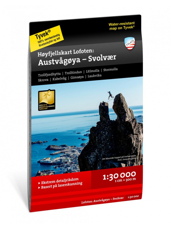
Hoyfjellskart Lofoten: Austvagoya - Svolvar - tourist map...
One of three unique maps with lots of details that have never been shown on a Lofoten map. The terrain information on the map is based on a laser scan from an airplane. For the first time, mountain slopes, larger rocks, streams and glaciers appear with an accuracy that corresponds to reality. The 1:30,000 scale map provides good support for those who go...
Kč 549
In Stock
Turkart Finse, Hallingskarvet & Aurlandsdalen -...
S mapovými zobrazeními na obou stranách pokrývá tato mapa celou oblast mezi Hallingskarvet na jihu a Aurlandsdalen na severu, s klasickými turistickými cíli jako Finse, Hardangerjokulen a Flamsdalen. Mapa také zahrnuje cyklistickou trasu Rallarvegen z Haugastol do Flamu o délce 82 km.
Tato mapa je součástí moderní kartografické série od Calazo s...
Kč 549
In Stock
Turkart Sulitjelma & Rago Nasjonalpark - turistická mapa...
S mapovými zobrazeními na obou stranách pokrývá tato mapa celou oblast kolem Sulitjelmy a Národního parku Rago.
Mapa je součástí moderní kartografické série od Calazo, která nabízí jedinečné terénní informace založené na laserovém skenování z letadla a lepší přesnost detailů. Použili jsme mimo jiné detailní letecké snímky k opravě všech stezek v...
Kč 549
In Stock


