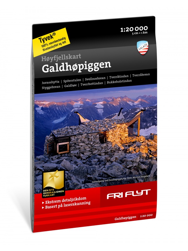
Hoyfjellskart Jotunheimen: Galdhopiggen + Glittertind - tourist map 1:25,000
A unique map with a lot of detail that has never been shown before in a map of Norway's highest mountain range. It is ideal for those planning to climb Galdhopiggen (2469 m). Terrain information on the map is based on laser scanning from an aircraft. For the first time, mountain slopes, larger rocks, watercourses and glaciers appear with an accuracy that corresponds to reality. The 1:20,000 scale map provides good support for those summiting, glacier hiking or otherwise leaving the marked trails in the valley and finding their own way in the high mountains. The map is made of Tyvek material, which is water-resistant, tear-resistant and lightweight.

 Reliable store
verified by customers
A unique map with a lot of detail that has never been shown before in a map of Norway's highest mountain range. It is ideal for those planning to climb Galdhopiggen (2469 m). Terrain information on the map is based on laser scanning from an aircraft. For the first time, mountain slopes, larger rocks, watercourses and glaciers appear with an accuracy that corresponds to reality. The 1:20,000 scale map provides good support for those summiting, glacier hiking or otherwise leaving the marked trails in the valley and finding their own way in the high mountains. The map is made of Tyvek material, which is water-resistant, tear-resistant and lightweight.
You might also like
Detailed tourist map of the highest mountain Scandinavia Galdhopiggen in Jotunheimen Park. Drawn access roads from the catchment of Juvasshytta and the village of Spiterstulen. A detailed map in the 1:25 000 scale. Winter skiing routes are also marked. Suitable for navigation on and off marked roads. Released in Norway.
Kč 659
In Stock
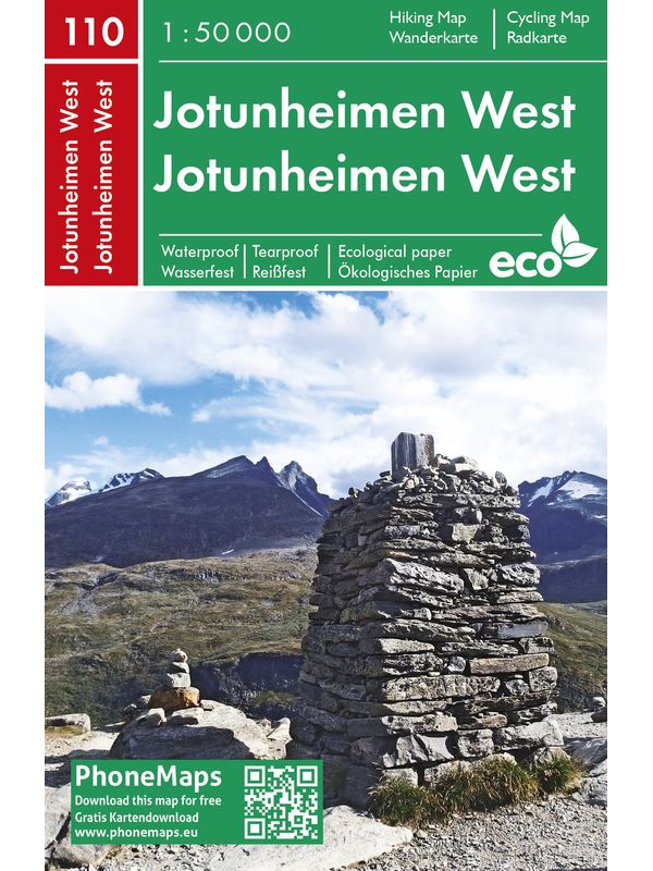
Jotunheimen West - tourist map 1:50 000 Phone Maps
Detailed tourist map of the western part of the Norwegian Jotunheimen National Park and the southern and central part of the Breiheimen National Park. Made of weather-resistant paper. Scale 1:50 000. You can upload the map for free to your mobile phone using PhoneMaps!
Kč 439
In Stock
chat
Comments (0)
error Your review appreciation cannot be sent
feedback Report comment
Are you sure that you want to report this comment?
check_circle Report sent
Your report has been submitted and will be considered by a moderator.
error Your report cannot be sent
Write your review
check_circle Review sent
Your comment has been submitted and will be available once approved by a moderator.
error Your review cannot be sent

A unique map with a lot of detail that has never been shown before in a map of Norway's highest mountain range. It is ideal for those planning to climb Galdhopiggen (2469 m). Terrain information on the map is based on laser scanning from an aircraft. For the first time, mountain slopes, larger rocks, watercourses and glaciers appear with an accuracy that corresponds to reality. The 1:20,000 scale map provides good support for those summiting, glacier hiking or otherwise leaving the marked trails in the valley and finding their own way in the high mountains. The map is made of Tyvek material, which is water-resistant, tear-resistant and lightweight.


