


Language:
Currency:


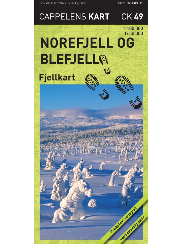
Norefjell and Blefjell CK49 - tourist map 1:50.000
Detailed tourist map of the Norefjell and Blefjell mountains at a scale of 1:50 000. Numedal and Eggedal areas are arranged in a clear 1: 100,000 scale. They also include the Gaustatoppen mountain. Made of durable paper, issued in Norway.
Kč 714
In Stock

Nordkinnhalvoya - tourist map 1:60,000
Tourist map of the northernmost peninsula of mainland Europe, Nordkinnhalvoya, and the Finnmark region. A good hiking map is a great helper when planning nice hikes in the Finnmark region. Texts only in Norwegian, clear information and legend also in English. Thanks to the Tyvek® material, it is completely waterproof and highly tear-resistant.
Kč 549
In Stock
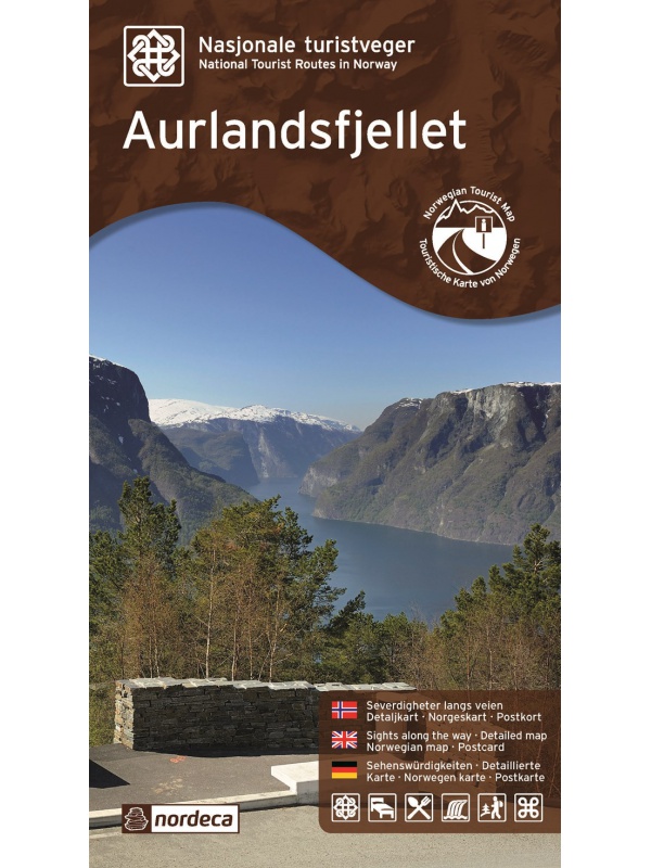
Mapa Aurlandsfjellet, Nasjonale turistveger
Aurlandsfjellet National Road Map (Route No. 243) at a scale of 1: 50,000. It features famous places like Stegastein, Naeroeyfjord, the Laerdal tunnel. There are also 5 quality views from this area of Norway. The stacked map is in the hardboard cover. Information in English, Norwegian and German.
Kč 659
In Stock

Map Tromso-Kvaloya 1:50 000 TOPO 3000
Detailed tourist map of Tromso-Kvaloya. Made of weather-resistant paper. Double-sided, scale 1:50 000. Includes over 3000 km2. Released in Norway.
Kč 769
Out-of-Stock
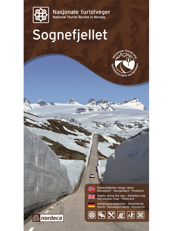
Map Sognefjellet, Nasjonale turistveger
National Map of Sognefjellet Mountains on a scale of 1: 80,000. There are also 5 quality views from this area of Norway. The stacked map is in the hardboard cover. Information in English, Norwegian and German.
Kč 659
In Stock
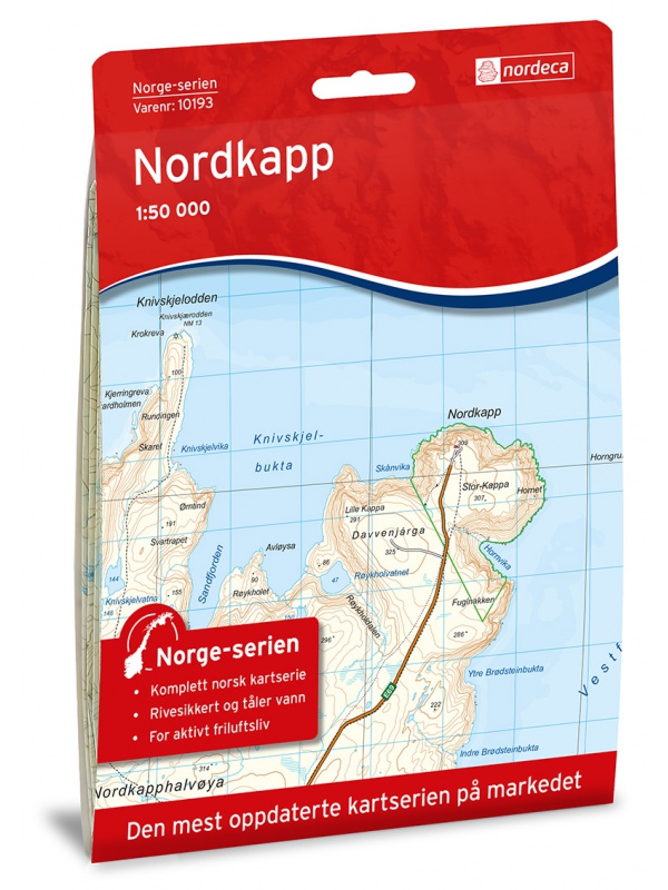
Map of Nordkapp - Norge Serien 1:50 000
Map of Nordkappa, the northernmost Cape of Norway on the island of Mageroya. contains the town of Honningsvag, the fishing villages kamoyvaer, Gjervaer, Skarsvag and the route to Knivskjelodden. Detailed scale 1:50 000.
Kč 769
In Stock

Map Lofoten, Nasjonale turistveger
Map of the National Car Route on the Lofoten Archipelago at a scale of 1: 100,000. There are also 5 quality views from this area of Norway. The stacked map is in the hardboard cover. Information in English, Norwegian and German
Kč 659
Out-of-Stock

Map Jaeren, Nasjonale turistveger
Map of the National Carriage Route through the coastal region Jaeren under Stavanger at the scale of 1: 100,000. There are also 5 quality views from this area of Norway. The stacked map is in the hardboard cover. Information in English, Norwegian and German.
Kč 659
In Stock
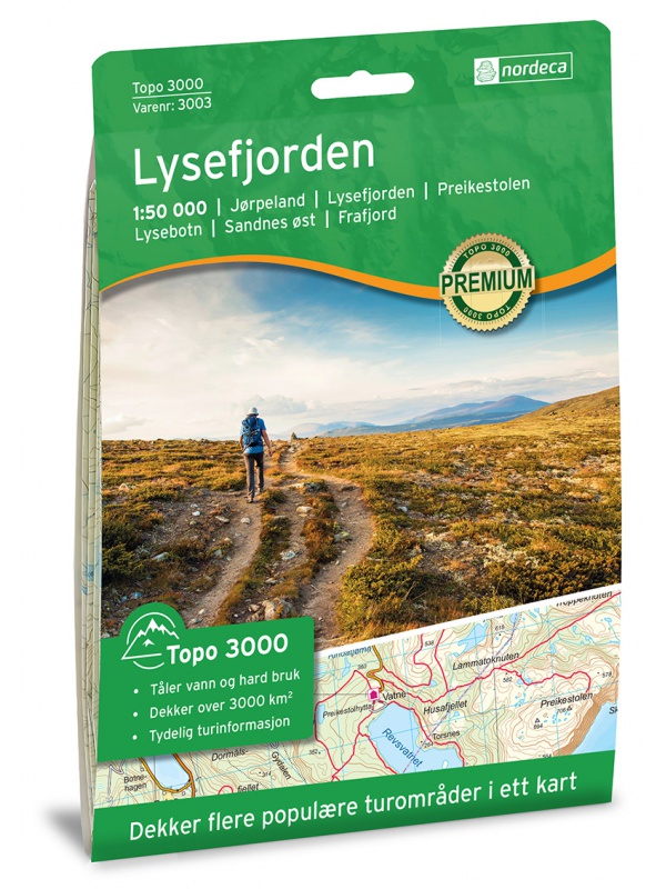
Lysefjorden 1:50 000 TOPO 3000
Detailed map of Lysefjorden and places of interest, including Preikestolen - Lysebotn - Sandnes ost - Frafjord, Kjerag and more. Made of weather-resistant paper. Double-sided, scale 1:50 000. Includes over 3000 km2. Released in Norway.
Kč 769
Out-of-Stock

Lofoten 1:100.000
A detailed tourist map of the Lofoten archipelago. Detailed map in 1: 100,000 scale. Detailed mapping of hiking trails and mountain chalets. Suitable for navigation on and off marked roads. Released in Norway.
Kč 714
Out-of-Stock

Lofoten - turistická mapa 1:75 000 Phone Maps
Podrobná turistická mapa oblasti Lofoten. Vyrobeno z papíru, který odolá povětrnostním vlivům. Měřítko 1:75 000. Mapu si můžete zdarma nahrát do mobilního telefonu pomocí aplikace PhoneMaps!
Kč 439
Out-of-Stock

Lillehammer - Rena 1:50 000 TOPO 3000
Detailed tourist map of the famous Birkebeiner Lillehammer - Rena. Made of weather-resistant paper. Double-sided, scale 1:50 000. Includes over 3000 km2. Released in Norway.
Kč 769
In Stock
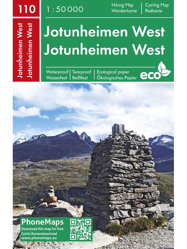
Jotunheimen West - tourist map 1:50 000 Phone Maps
Detailed tourist map of the western part of the Norwegian Jotunheimen National Park and the southern and central part of the Breiheimen National Park. Made of weather-resistant paper. Scale 1:50 000. You can upload the map for free to your mobile phone using PhoneMaps!
Kč 439
In Stock
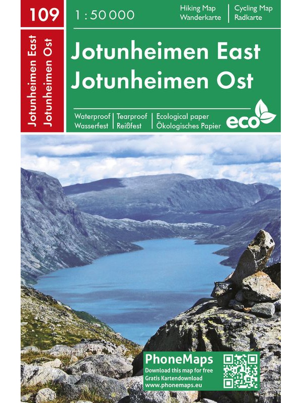
Jotunheimen East - tourist map 1:50 000 Phone Maps
Detailed tourist map of the eastern part of the Norwegian Jotunheimen National Park, including the highest peaks of Glittertind and Galdhopiggen. Made of weather-resistant paper. Scale 1:50 000. You can upload the map for free to your mobile phone using PhoneMaps!
Kč 439
Out-of-Stock

Jostedalsbreen 1:50 000 TOPO 3000
Detailed tourist map of the largest European glacier Jostedalsbreen. Made of weather-resistant paper. Double-sided, scale 1:50 000. Includes over 3000 km2. Released in Norway.
Kč 769
In Stock

Hurrungane Tourist Map 1: 25.000
Detailed tourist map of Hurrungane mountains in the Jotunheimen park area near the 55 Sognefjellet road. Includes Fannaraki Glacier, Sognefjellshytta, Fannarakhytta, Grandalen, Ingjerdbu, Vettli Gard. Detailed map in 1:25 000 scale. Suitable for navigating on and off marked trails. Released in Norway.
Kč 714
In Stock

Hoyfjellskart Senja: Keipen, Tredjefjellet & Kvanan -...
Tourist map showing the northwestern part of Senja Island at a scale of 1:25,000. Useful especially if you are planning a trip to the top of Keipen (938 m), Breitinden (1001 m) or Kvanan (963 m) or you want to leave the marked paths and go into the mountains on your own fist. Thanks to the Tyvek® material, it is completely waterproof and highly...
Kč 549
In Stock

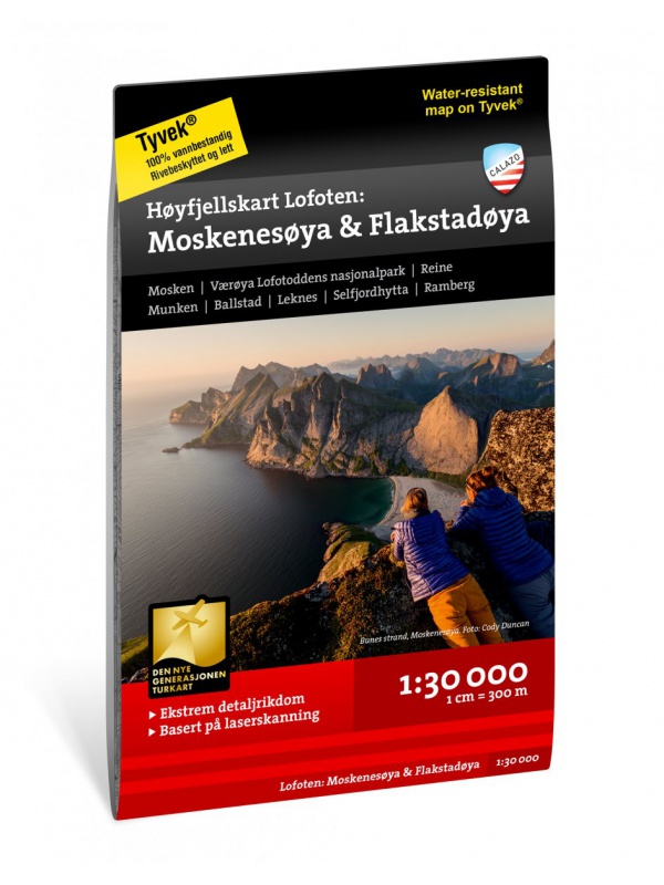
Hoyfjellskart Lofoten: Moskenes - tourist map Lofoten...
One of three unique maps with lots of details that have never been shown on a Lofoten map. The terrain information on the map is based on a laser scan from an airplane. For the first time, mountain slopes, larger rocks, streams and glaciers appear with an accuracy that corresponds to reality. The 1:30,000 scale map provides good support for those who go...
Kč 549
Out-of-Stock