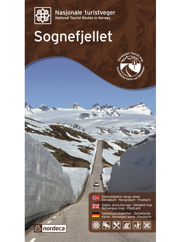
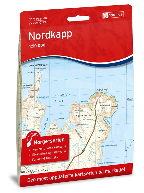
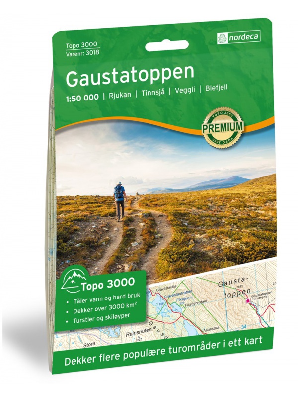
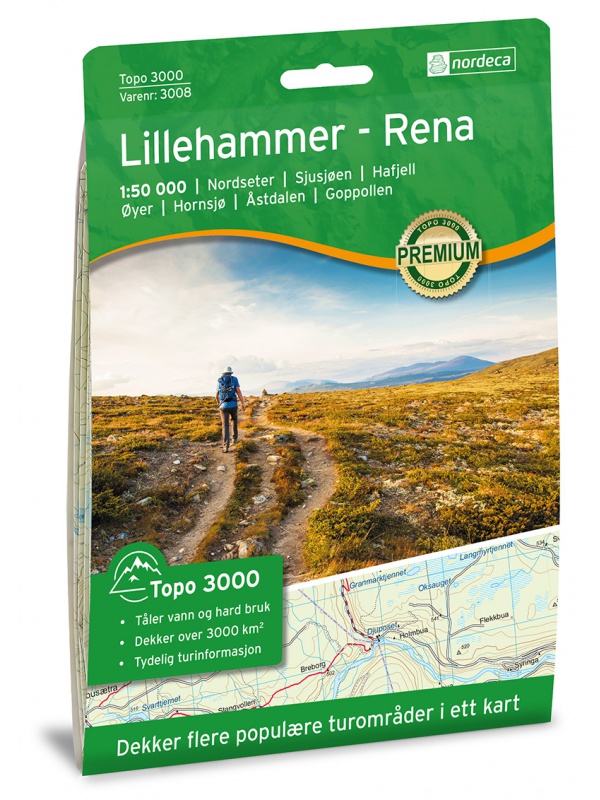
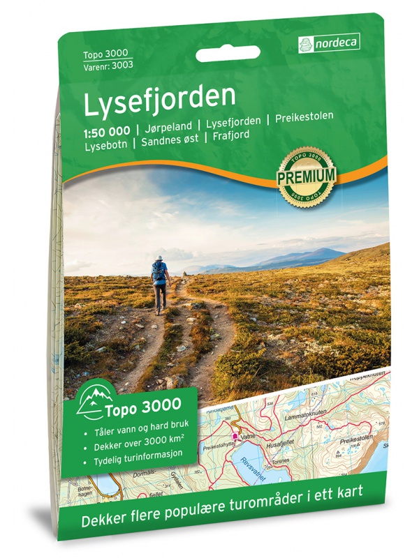
List of products by brand Nordeca

Atlanterhavsvegen, Nasjonale turistveger

Map of the National Autoturistical Route Atlanterhavsvegen along the bridges and islands on the Atlantic Ocean between Molde and Kristiansund. There are also 5 quality views from this area of ​​Norway. The stacked map is in the hardboard cover. Information in English, Norwegian and German
Kč 659
In Stock
View Detail

Varanger, Nasjonale turistveger

Map of the National Autoturist Route along the Varang peninsula in the 1 / 100,000 scale. There are also 5 quality views from this area of ​​Norway. The stacked map is in the hardboard cover. Information in English, Norwegian and German
Kč 659
Out-of-Stock

Helgelandskysten, Nasjonale turistveger

Map of the National Car Travel Route along the coast along Route 17 - Helgelandskysten on a scale of 1: 250,000. There are also 5 quality views from this area of ​​Norway. The stacked map is in the hardboard cover. Information in English, Norwegian and German.
Kč 659
Out-of-Stock

Rondane, Nasjonale turistveger

Map of the National Autoturist Route through the Rondane National Park at a scale of 1: 55,000. There are also 5 quality views from this area of ​​Norway. The stacked map is in the hardboard cover. Information in English, Norwegian and German.
Kč 659
In Stock
View Detail

Map Hardangervidda, Nasjonale turistveger

Map of the National Autoturist Route through the Hardangervidda Plateau at a scale of 1: 50,000. There are also 5 quality views from this area of ​​Norway. The stacked map is in the hardboard cover. Information in English, Norwegian and German.
Kč 659
Out-of-Stock

Map Hardanger, Nasjonale turistveger

Map of the National Carriage Route along the Hardanger Fjord at a scale of 1: 75,000. There are also 5 quality views from this area of ​​Norway. The stacked map is in the hardboard cover. Information in English, Norwegian and German.
Kč 659
Out-of-Stock

Tourist Map Besseggen 1: 25.000

Detailed tourist map of the Bessegen ridge in Jotunheimen Park. A detailed map in the 1:25 000 scale. Winter skiing routes are also marked. Suitable for navigation on and off marked roads. Released in Norway.
Kč 659
Out-of-Stock

Tourist Map Breheimen 1: 50.000

Detailed tourist map of the Breheimen National Park. Detailed map in 1:50 000 scale. Detailed mapping of hiking trails and mountain chalets. Suitable for navigation on and off marked roads. Released in Norway.
Kč 659
In Stock
View Detail

Map Jaeren, Nasjonale turistveger

Map of the National Carriage Route through the coastal region Jaeren under Stavanger at the scale of 1: 100,000. There are also 5 quality views from this area of ​​Norway. The stacked map is in the hardboard cover. Information in English, Norwegian and German.
Kč 659
In Stock
View Detail

Map Lofoten, Nasjonale turistveger

Map of the National Car Route on the Lofoten Archipelago at a scale of 1: 100,000. There are also 5 quality views from this area of ​​Norway. The stacked map is in the hardboard cover. Information in English, Norwegian and German
Kč 659
Out-of-Stock

Valdresflye, Nasjonale turistveger

Map of the National Autoturist Route through the Valdresfly Pass at a scale of 1: 50,000. There are also 5 quality views from this area of ​​Norway. The stacked map is in the hardboard cover. Information in English, Norwegian and German.
Kč 659
In Stock
View Detail

Ryfylke, Nasjonale turistveger

Map of the National Autopathic Route by the Ryfylke Region above Stavanger at a scale of 1: 105,000. There are also 5 quality views from this area of ​​Norway. The stacked map is in the hardboard cover. Information in English, Norwegian and German.
Kč 659
Out-of-Stock

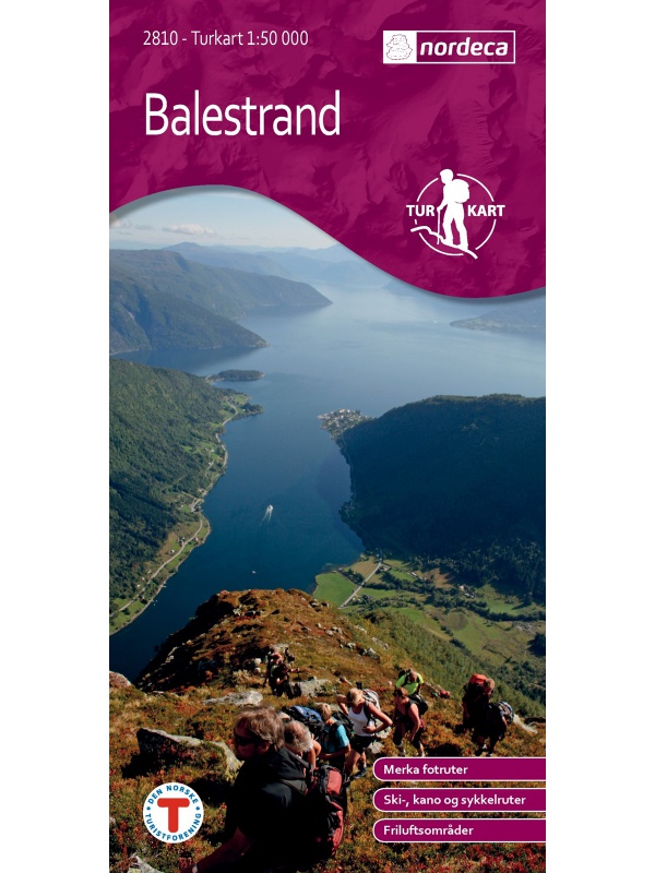
Balestrand Tourist Map 1:50 000

A detailed tourist map of the Sognefjord, includes Balestrand, Vangsnes, Hella, Dragsvik, Gaularfjellet Mountain Road. Detailed map in 1:50 000 scale. Suitable for navigating on and off marked trails. Released in Norway.
Kč 714
In Stock
View Detail

Hurrungane Tourist Map 1: 25.000

Detailed tourist map of Hurrungane mountains in the Jotunheimen park area near the 55 Sognefjellet road. Includes Fannaraki Glacier, Sognefjellshytta, Fannarakhytta, Grandalen, Ingjerdbu, Vettli Gard. Detailed map in 1:25 000 scale. Suitable for navigating on and off marked trails. Released in Norway.
Kč 714
In Stock
View Detail

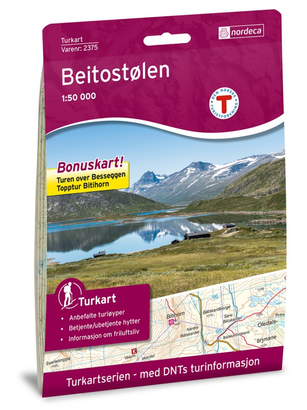
Beitostolen tourist map 1:50 000

Detailed tourist map of the popular area for downhill and cross-country skiers Beitostolen. The bonus map also includes the crossing of the Besseggen ridge and the hike to the Bitihorn mountain in Jotunheimen Park. Detailed map in 1:50 000 scale. Suitable for navigating on and off marked trails. Released in Norway.
Kč 714
In Stock
View Detail

Tourist map Romsdalseggen 1:25 000

The most detailed tourist map of Romsdalseggen, includes Trollstigen, Trollveggen, Romsdalshornet, Andaslnes, Isfjorden Detailed map in 1:25 000 scale. Suitable for navigating on and off marked trails. Released in Norway.
Kč 714
In Stock
View Detail