List of products by brand Nordeca

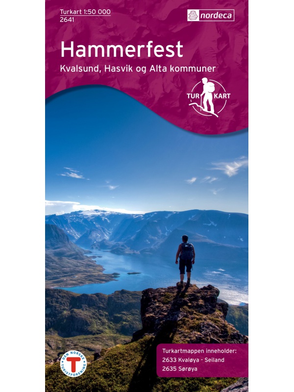
Hammerfest Tourist Map, Kvaloya + Soroya, 1: 50.000 - 2 maps

Two maps in one package. Detailed tourist map of the fishing area of Soroya, Kvaloya, Hammerfest. It contains parts of the districts of Kvalsund, Hasvik and Alta in the north of Norway. Detailed map in scale 1:50 000. Detailed drawing of hiking trails and mountain huts. Suitable for navigating on and off marked trails. Released in Norway.
Kč 1,209
In Stock
View Detail

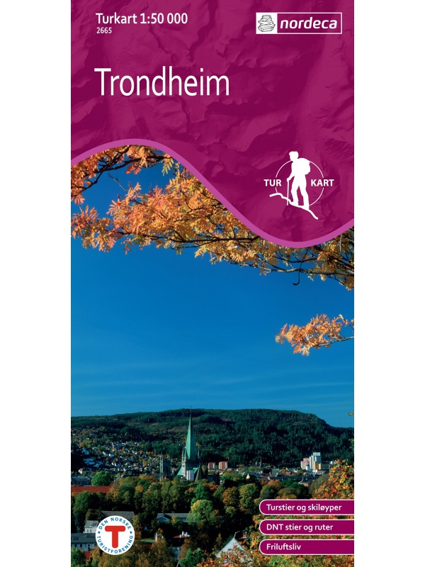
Trondheim 1:50.000

Detailed map of Trondheim and region. Detailed map in 1:50 000 scale. Detailed mapping of hiking trails and mountain chalets. Suitable for navigation on and off marked roads. Released in Norway.
Kč 659
zašleme do 24 hodin
View Detail

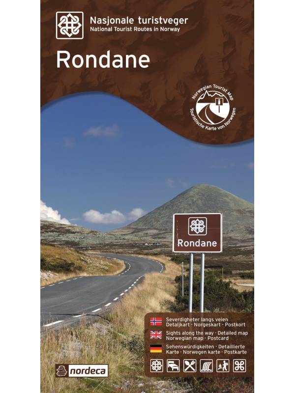
Rondane, Nasjonale turistveger

Map of the National Autoturist Route through the Rondane National Park at a scale of 1: 55,000. There are also 5 quality views from this area of ​​Norway. The stacked map is in the hardboard cover. Information in English, Norwegian and German.
Kč 659
In Stock
View Detail

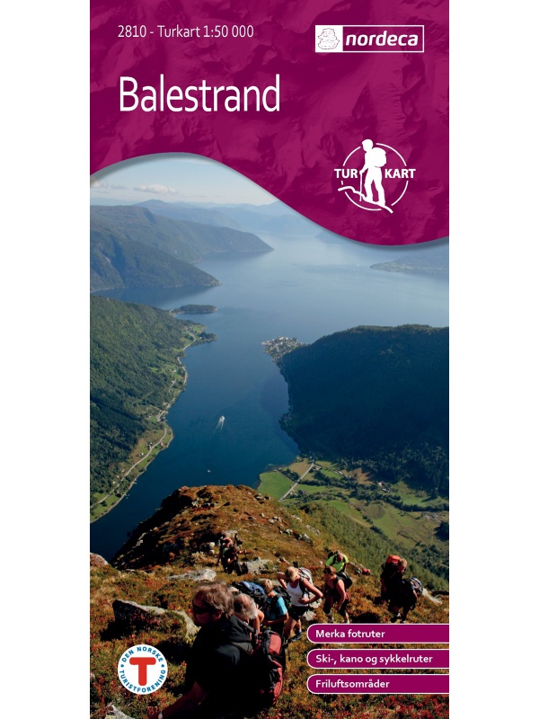
Balestrand Tourist Map 1:50 000

A detailed tourist map of the Sognefjord, includes Balestrand, Vangsnes, Hella, Dragsvik, Gaularfjellet Mountain Road. Detailed map in 1:50 000 scale. Suitable for navigating on and off marked trails. Released in Norway.
Kč 714
In Stock
View Detail

Hurrungane Tourist Map 1: 25.000

Detailed tourist map of Hurrungane mountains in the Jotunheimen park area near the 55 Sognefjellet road. Includes Fannaraki Glacier, Sognefjellshytta, Fannarakhytta, Grandalen, Ingjerdbu, Vettli Gard. Detailed map in 1:25 000 scale. Suitable for navigating on and off marked trails. Released in Norway.
Kč 714
In Stock
View Detail

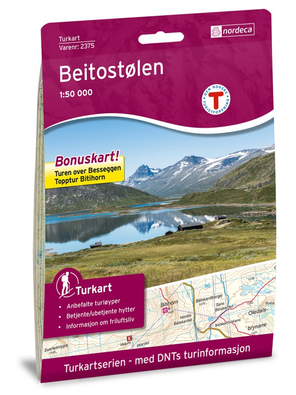
Beitostolen tourist map 1:50 000

Detailed tourist map of the popular area for downhill and cross-country skiers Beitostolen. The bonus map also includes the crossing of the Besseggen ridge and the hike to the Bitihorn mountain in Jotunheimen Park. Detailed map in 1:50 000 scale. Suitable for navigating on and off marked trails. Released in Norway.
Kč 714
In Stock
View Detail

Tourist map Romsdalseggen 1:25 000

The most detailed tourist map of Romsdalseggen, includes Trollstigen, Trollveggen, Romsdalshornet, Andaslnes, Isfjorden Detailed map in 1:25 000 scale. Suitable for navigating on and off marked trails. Released in Norway.
Kč 714
In Stock
View Detail

Galdhopiggen 1:25.000, hiking map

Detailed tourist map of the highest mountain Scandinavia Galdhopiggen in Jotunheimen Park. Drawn access roads from the catchment of Juvasshytta and the village of Spiterstulen. A detailed map in the 1:25 000 scale. Winter skiing routes are also marked. Suitable for navigation on and off marked roads. Released in Norway.
Kč 659
In Stock
View Detail

Lysefjorden 1:50 000 TOPO 3000

Detailed map of Lysefjorden and places of interest, including Preikestolen - Lysebotn - Sandnes ost - Frafjord, Kjerag and more. Made of weather-resistant paper. Double-sided, scale 1:50 000. Includes over 3000 km2. Released in Norway.
Kč 769
In Stock
View Detail

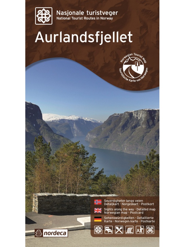
Mapa Aurlandsfjellet, Nasjonale turistveger

Aurlandsfjellet National Road Map (Route No. 243) at a scale of 1: 50,000. It features famous places like Stegastein, Naeroeyfjord, the Laerdal tunnel. There are also 5 quality views from this area of ​​Norway. The stacked map is in the hardboard cover. Information in English, Norwegian and German.
Kč 659
In Stock
View Detail

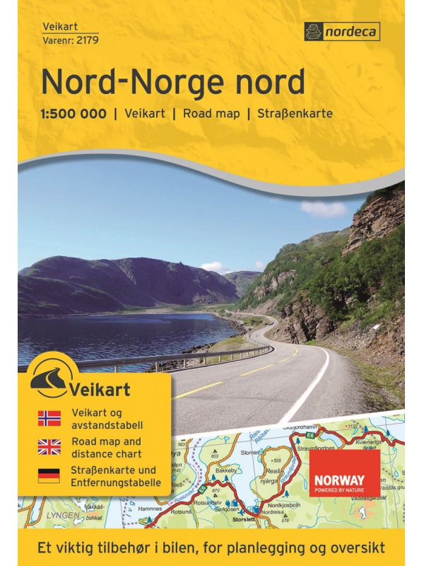
Veikart Nord-Norge Nord 1:500 000

The last 5th part of north Norway's folding automapap (northern part) with a rich register of places on the back. Includes areas and cities of Tromso, Alta, Hammerfest, Honningsvag, Nordkapp, Vardo, Kirkenes. The latest edition of the Road Statement to Begin 2016. The Distance Table. Labels in Norwegian, English and German. Scale 1: 500,000.
Kč 659
zašleme do 24 hodin
View Detail

Rallarvegen 1:50.000

Detailed tourist and cycle map of the Rallarvegen area. Detailed map in 1:50 000 scale. Detailed mapping of hiking trails and mountain chalets. Suitable for navigation on and off marked roads. Released in Norway.
Kč 659
zašleme do 24 hodin
View Detail

Trolltunga, Odda - Ullensvang 1:50.000

Detailed map of Trolltunga, Odda - Ullensvang. Detailed map in 1:50 000 scale. Detailed mapping of hiking trails and mountain chalets. Suitable for navigation on and off marked roads. Released in Norway.
Kč 714
zašleme do 24 hodin
View Detail

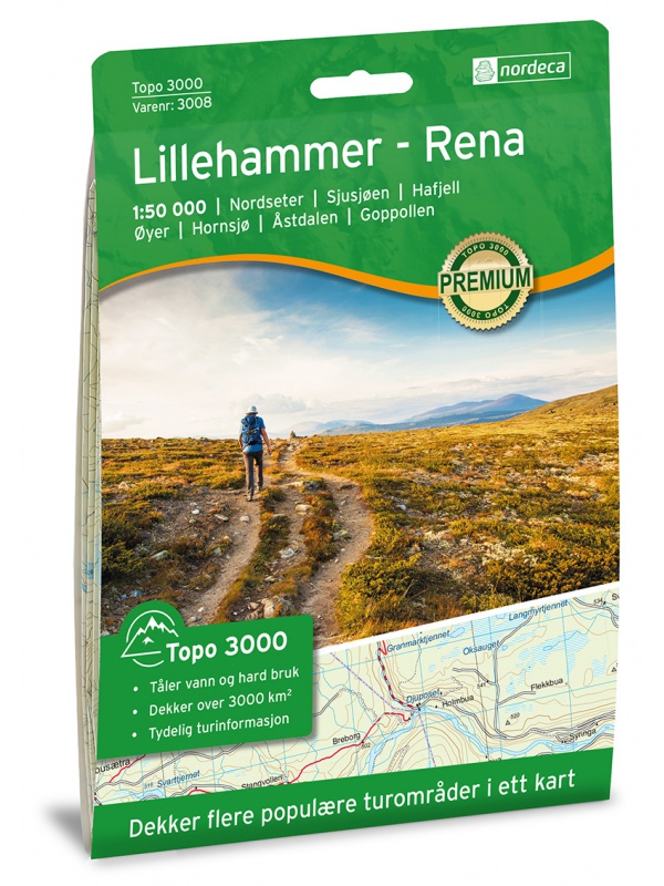
Oyer - Lillehammer 1:50.000

Detailed map of Oyer - Lillehammer. Detailed map in 1:50 000 scale. Detailed mapping of hiking trails and mountain chalets. Suitable for navigation on and off marked roads. Released in Norway.
Kč 659
zašleme do 24 hodin
View Detail