


Language:
Currency:


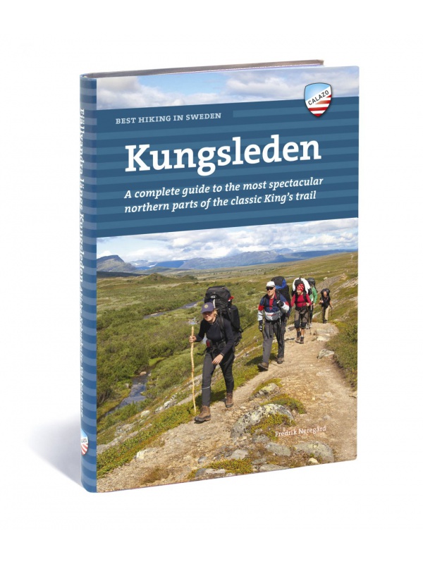
Best hiking in Sweden - KUNGSLEDEN - English
English translation of the book Fjällvandra längs Kungsleden. A complete guide to the most beautiful northern part of the legendary royal route. Describes the route Abisko - Kvikkjokk (English).
€37.36
Out-of-Stock

Mapa Skäckerfjällen – Storlien - Are 1:75 000
Oboustranná turistická mapa obsahující turistické a cykloturistické značení, dále zaznačeny tábořiště, kempy, kostely, turistická informační centra, hranice NP, kulturní a historické památky.
€26.36
In Stock
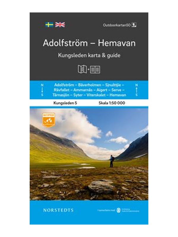
Map KUNGSLEDEN Adolfstrom - Hemavan 1:50 000
One-sided tourist map with hiking and biking trails, camping sites, camps, churches, tourist information centers, NP borders, cultural and historical monuments. The most interesting sites are marked with a number and separately described on the reverse side in a text section (Swedish, English).
€26.36
In Stock

Map KUNGSLEDEN Kvikkjokk - Adolfstrom 1:50 000
One-sided tourist map with hiking and biking trails, camping sites, camps, churches, tourist information centers, NP borders, cultural and historical monuments. The most interesting sites are marked with a number and separately described on the reverse side in a text section (Swedish, English).
€26.36
In Stock

Map KUNGSLEDEN Saltoluokta - Kvikkjokk 1:50 000
One-sided tourist map with hiking and biking trails, camping sites, camps, churches, tourist information centers, NP borders, cultural and historical monuments. The most interesting sites are marked with a number and separately described on the reverse side in a text section (Swedish, English).
€26.36
In Stock
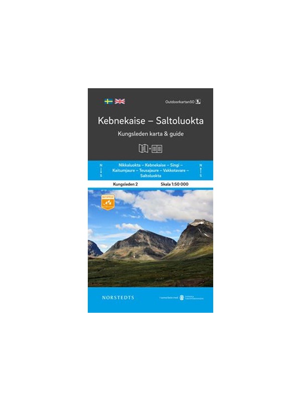
Map KUNGSLEDEN Kebnekaise - Saltoluokta 1:50 000
One-sided tourist map with hiking and biking trails, camping sites, camps, churches, tourist information centers, NP borders, cultural and historical monuments. The most interesting sites are marked with a number and separately described on the reverse side in a text section (Swedish, English).
€26.36
In Stock

Map KUNGSLEDEN Abisko - Kebnekaise 1:50 000
One-sided tourist map with hiking and biking trails, camping sites, camps, churches, tourist information centers, NP borders, cultural and historical monuments. The most interesting sites are marked with a number and separately described on the reverse side in a text section (Swedish, English).
€26.36
In Stock

Doteky severu (Touch of North) - Petra Doležalová
Petra Doležalová's beautiful photo book from the trips to western and northern Norway (Finnmark area), but also to Iceland. It also serves as a travel journal. Second Extended Edition. The texts are in Czech and English.
€26.36
In Stock
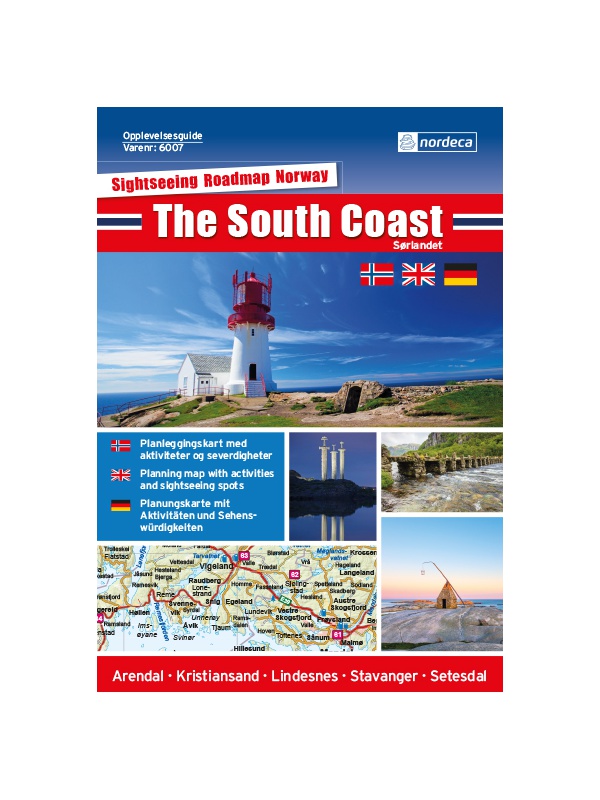
Experience Guide South Norway 1: 250,000, Opplevelsesguide
Map with tips for the southernmost part of Norway from the E39 and E18 along the coast from Tonsberg to Kristiansadn to Stavanger. It ends under the Hardangervidda National Park. One in a scale of 1: 250,000. The stacked map contains tips on places of interest with information and contacts. Labels in English, Norwegian and German.
€26.36
Out-of-Stock
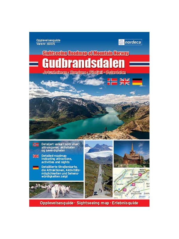
Experienced Guide to Gudbrandsdalen 1:250 000,...
Map with tips for the longest valley of central Norway in one on a scale of 1: 250,000. The stacked map contains tips on places of interest with information and contacts. Includes the area part along the E6 Hamar - Dombas Road, and the Osterdalen Elverum - Alvdal Road No. 3 and the Sognefjellet and Filefjell Highways. Labels in English, Norwegian and German.
€26.36
Out-of-Stock
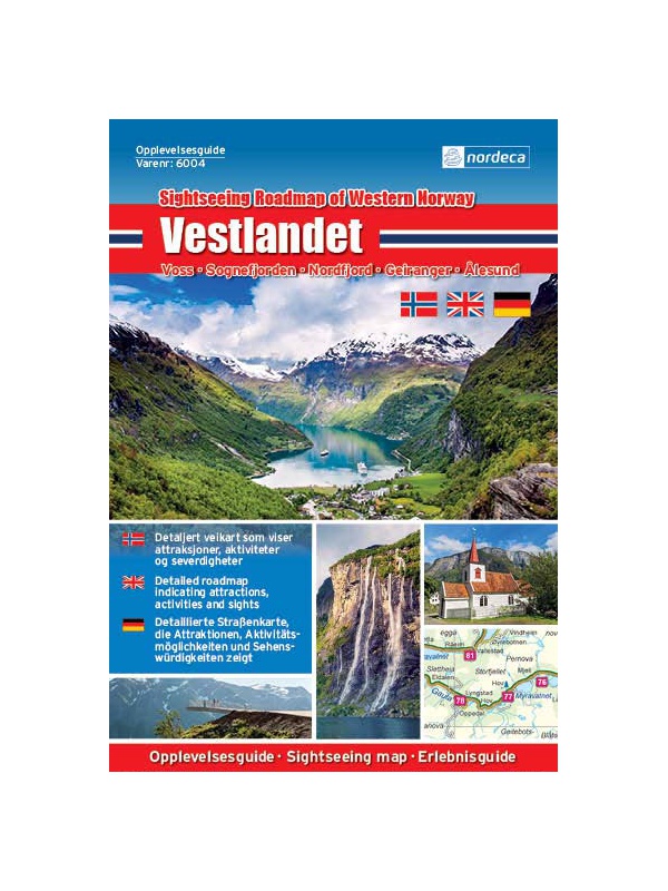
Experienced Guide to Western Norway 1: 250,000,...
Map with tips for the west coast of Norway in one on a scale of 1: 250,000. The stacked map contains tips on places of interest with information and contacts. Includes coastal road E39 - Bergen - Alesund and Bergen - Voss - Sogndal to Jolster. Labels in English, Norwegian and German.
€26.36
Out-of-Stock
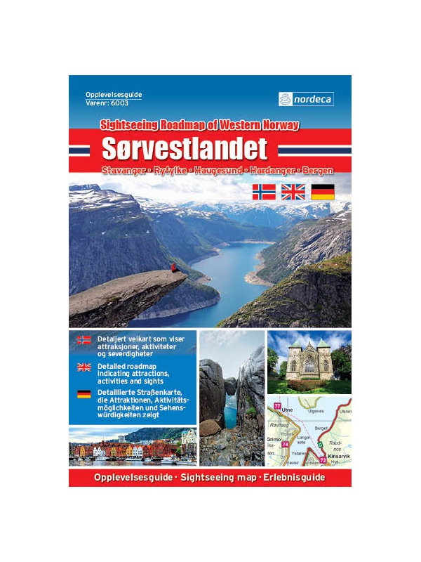
Experienced Guide to Southwest Norway 1: 250,000,...
Map with tips for southwest Norway in one on a scale of 1: 250,000. The stacked map contains tips on places of interest as well as information and contacts. Jaren and Stavanger via Haugesund to Bergen, from Ryfylke and Hardanger to Vosse, through Setesdal, to Haukeli and Roldal. Labels in English, Norwegian and German.
€26.36
Out-of-Stock

Experienced Guide to Lofoten 1:250 000, Opplevelsesguide
Map with tips for Lofoten in one on a scale of 1: 250,000. The folded map contains tips on interesting places on Lofotech with information and contacts. The area from Bodo via Salten, Rognan and Fauske, Ofoten with Narvik, Vesteralen - Andoya and Lofoten up to the village A. Labels in English, Norwegian and German.
€26.36
Out-of-Stock

Lonely Planet - Norway - guide
The latest guide to Norway from Lonely Planet. 448 pages. The latest edition with up-to-date tips and advice. Including clear maps and a practical chapter on transport, color photos of the most interesting places.
€26.36
In Stock

Lonely Planet - Island (poznáváme) - průvodce
Oblíbený průvodce Islandem od Lonely Planet. 324 stran. Precizní průvodce s aktuálními tipy a radami. Včetně přehledných map a praktické kapitoly o dopravě, barevné fotografie nejzajímavějších míst.
€26.36
In Stock
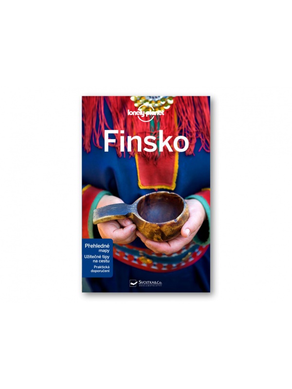
Lonely Planet - Finland 2 - guide
Lonely Planet's guide to Finland. 320 pages. The latest edition from the end of 2018. Including clear maps and a practical chapter on transport, color photos of the most interesting places.
€26.36
In Stock

Lonely Planet - Island - průvodce
Oblíbený průvodce Islandem od Lonely Planet. 434 stran. Precizní průvodce s aktuálními tipy a radami. Včetně přehledných map a praktické kapitoly o dopravě, barevné fotografie nejzajímavějších míst.
€26.36
In Stock