Hiking map Lysefjorden 1:50.000

Detailed tourist map of Lysefjorden, Preikestolen, Kjerag, etc. Detailed map in 1:50 000 scale. Detailed map of hiking trails and mountain chalets. Suitable for navigation on and off marked roads. Released in Norway.
Kč 714
Out-of-Stock

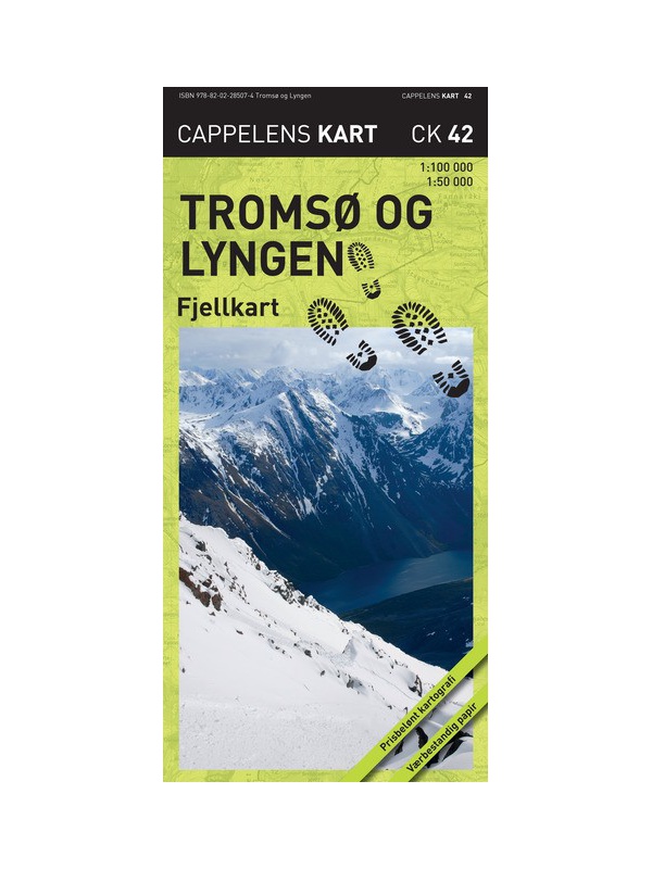
Tromso a Lyngsalpene CK42 - hiking map 1:100/1:50 tis.

A detailed tourist map of popular Tromso and the Lyngalpane Mountains on a scale of 1: 50,000 and the islands of Kvaloy and Ringvassoya on the scale of 1: 100,000. Printed on waterproof paper, information on hiking routes and DNT huts. Marked as well as winter skiing routes and modified paths. Released in Norway.
Kč 769
Out-of-Stock

Lofoten 1:100.000

A detailed tourist map of the Lofoten archipelago. Detailed map in 1: 100,000 scale. Detailed mapping of hiking trails and mountain chalets. Suitable for navigation on and off marked roads. Released in Norway.
Kč 714
Out-of-Stock

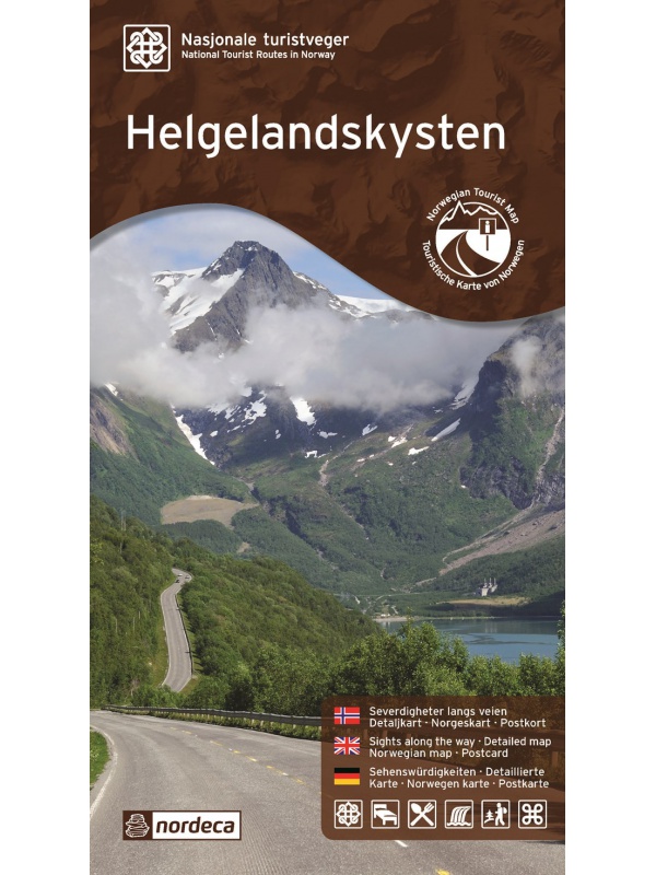
Helgelandskysten, Nasjonale turistveger

Map of the National Car Travel Route along the coast along Route 17 - Helgelandskysten on a scale of 1: 250,000. There are also 5 quality views from this area of ​​Norway. The stacked map is in the hardboard cover. Information in English, Norwegian and German.
Kč 659
Out-of-Stock

Map Lofoten, Nasjonale turistveger

Map of the National Car Route on the Lofoten Archipelago at a scale of 1: 100,000. There are also 5 quality views from this area of ​​Norway. The stacked map is in the hardboard cover. Information in English, Norwegian and German
Kč 659
Out-of-Stock