


Language:
Currency:

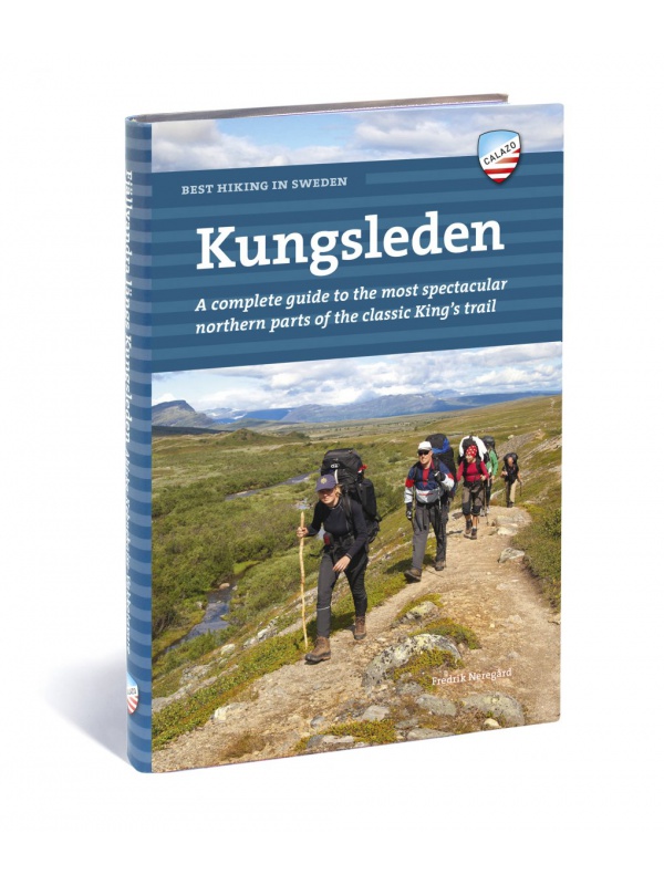
Best hiking in Sweden - KUNGSLEDEN - English
English translation of the book Fjällvandra längs Kungsleden. A complete guide to the most beautiful northern part of the legendary royal route. Describes the route Abisko - Kvikkjokk (English).
Kč 934
Out-of-Stock
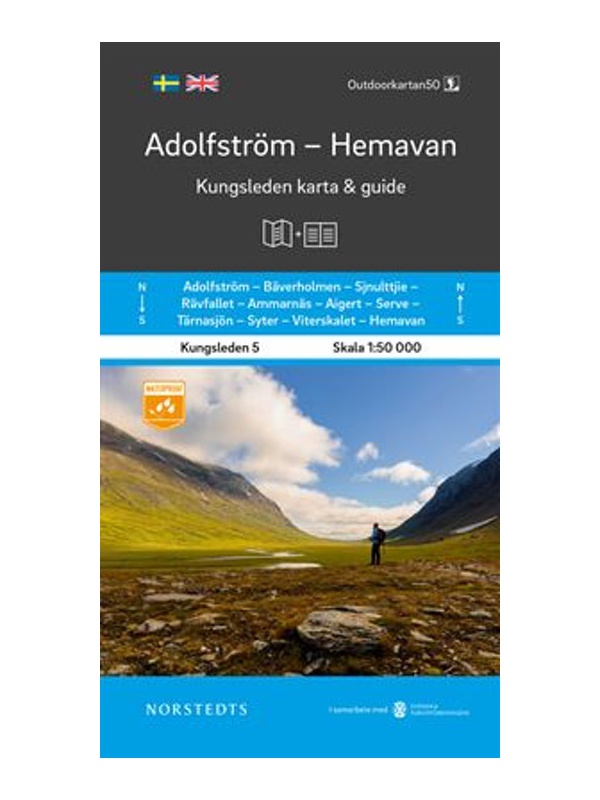
Map KUNGSLEDEN Adolfstrom - Hemavan 1:50 000
One-sided tourist map with hiking and biking trails, camping sites, camps, churches, tourist information centers, NP borders, cultural and historical monuments. The most interesting sites are marked with a number and separately described on the reverse side in a text section (Swedish, English).
Kč 659
In Stock

Map KUNGSLEDEN Kvikkjokk - Adolfstrom 1:50 000
One-sided tourist map with hiking and biking trails, camping sites, camps, churches, tourist information centers, NP borders, cultural and historical monuments. The most interesting sites are marked with a number and separately described on the reverse side in a text section (Swedish, English).
Kč 659
In Stock

Map KUNGSLEDEN Abisko - Kebnekaise 1:50 000
One-sided tourist map with hiking and biking trails, camping sites, camps, churches, tourist information centers, NP borders, cultural and historical monuments. The most interesting sites are marked with a number and separately described on the reverse side in a text section (Swedish, English).
Kč 659
In Stock

Map KUNGSLEDEN Saltoluokta - Kvikkjokk 1:50 000
One-sided tourist map with hiking and biking trails, camping sites, camps, churches, tourist information centers, NP borders, cultural and historical monuments. The most interesting sites are marked with a number and separately described on the reverse side in a text section (Swedish, English).
Kč 659
In Stock
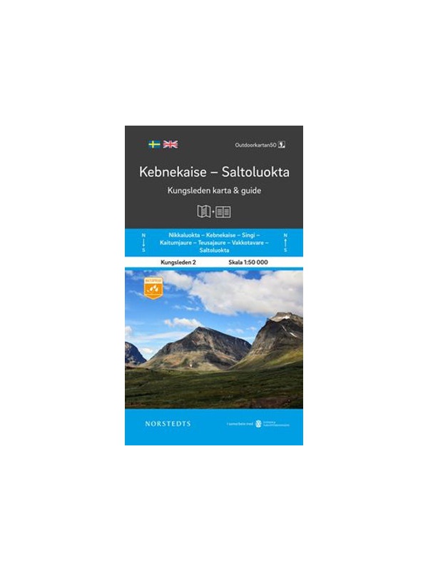
Map KUNGSLEDEN Kebnekaise - Saltoluokta 1:50 000
One-sided tourist map with hiking and biking trails, camping sites, camps, churches, tourist information centers, NP borders, cultural and historical monuments. The most interesting sites are marked with a number and separately described on the reverse side in a text section (Swedish, English).
Kč 659
In Stock

Z51 Are - tourist map 1:50 000
Detailed tourist map Are. Suitable for tourist guides, travelers and adventurers. Roads for snowmobiles are also marked. The map is printed on paper that resists weather. Texts only in Swedish, well-arranged information and legend in English and German.
Kč 659
In Stock

Vasaloppet Arena 1:50 000 - mapa závodu
Mapa legendárního běžkařského závodu Vasaloppet ze Salenu do Mory. Mapa obsahuje i turistickou trasu (Vasaloppsleden) a cyklistickou trasu (CykelVasaleden). Trasa měří cca 90 km a vede přes známá místa jako Mangsbodarna, Evertsberg, Hogberg do městečka Mora, kde se můžete proběhnout po cílové rovince. Vydáno ve Švédsku. Texty ve švédštině, popisky i v...
Kč 549
In Stock
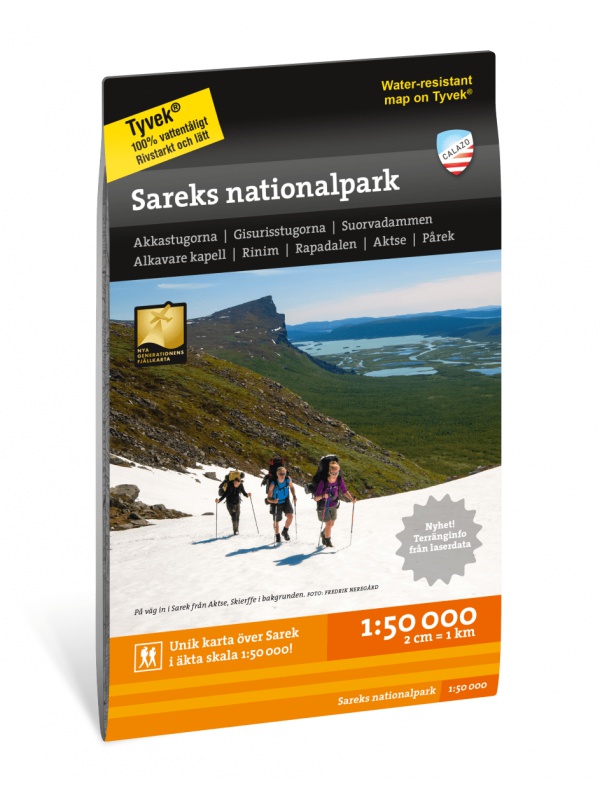
Sarek National Park - turistická mapa 1:50.000
Podrobná turistická mapa švédského národního parku Sarek. Vhodná pro turistické průvodce, cestovatele a dobrodruhy. Vyznačeny i cesty pro sněžné skútry. Mapa je vytištěna na papír, který odolá počasí. Texty pouze ve švédštině, přehledné informace a legenda i v angličtině a němčině.
Kč 549
Out-of-Stock
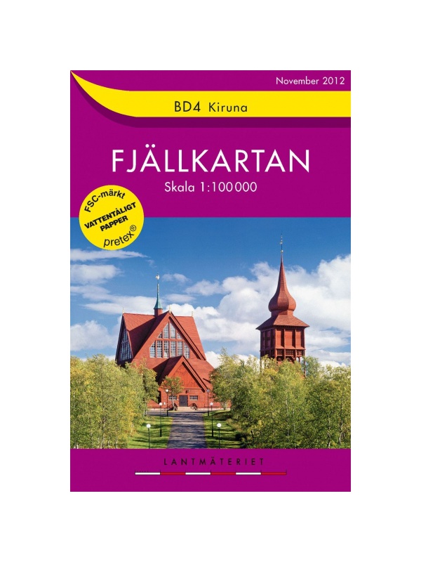
BD4 Kiruna Fjällkarta 1:100.000
A detailed tourist map of the area around the Swedish city of Kiruna. Suitable for tourist guides, travelers and adventurers. Trails for snowmobiles are also marked. The map is printed on paper that resists weather. Texts only in Swedish, clear information and legends in English and German.
Kč 494
zašleme do 24 hodin

BD6 Abisko-Kebnekaise-Narvik 1:100.000
A detailed tourist map of the Swedish National Park Abosko. Suitable for tourist guides, travelers and adventurers. Trails for snowmobiles are also marked. The map is printed on paper that resists weather. Texts only in Swedish, clear information and legends in English and German.
Kč 494
zašleme do 24 hodin

Cyklistická mapa Västergötland, Göteborg - Cykelkartan 12...
Cyklistická mapa území Västergötland a města Göteborg - část 12 ze série Sweden by Bike. Vyrobeno z nepromokavého papíru. Vydáno ve Švédsku. Měřítko 1:90.000 s texty ve švédštině, popisky i v angličtině a němčině.
Kč 494
In Stock

Cycling map Stockholm - Cykelkartan 28 - 1:90 000
Stockholm and surroundings cycling map - part 28 SÖDRA ROSLAGEN / STOCKHOLM. The area of the port city of Nynäshamn is also added. Made of waterproof paper. Released in Sweden. Scale 1: 90.000 Texts in Swedish, descriptions in English.
Kč 494
In Stock

BD8 Kebnekaise - Saltoluokta - Tourist Map 1: 100,000
Detailed tourist map Kebnekaise - Saltoloukta. Suitable for tourist guides, travelers and adventurers. Roads for snowmobiles are also marked. The map is printed on paper that resists weather. Texts only in Swedish, well-arranged information and legend in English and German.
Kč 494
In Stock
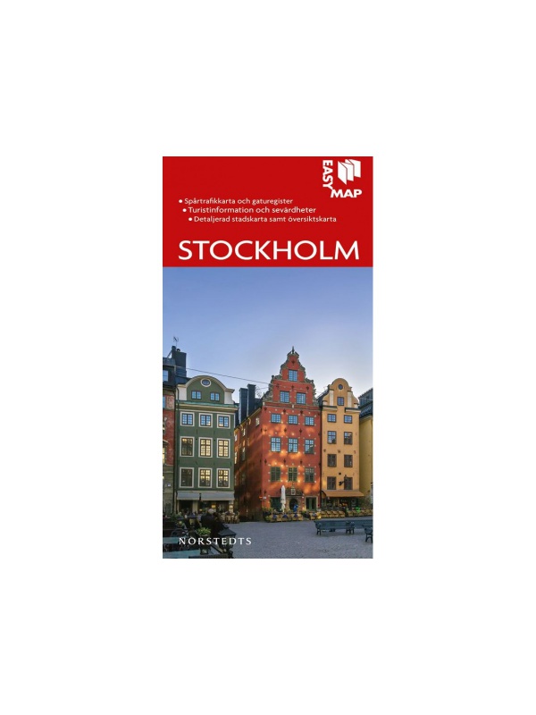
Map of Stockholm 1:12 500 - Stockholm Easy Map
A very detailed map of the capital of Sweden containing tourist and cycling signs, campgrounds, camps, churches, tourist information centers, cultural and historical monuments. ). Scale 1:12 500, Released in Sweden in 2019.
Kč 351
In Stock
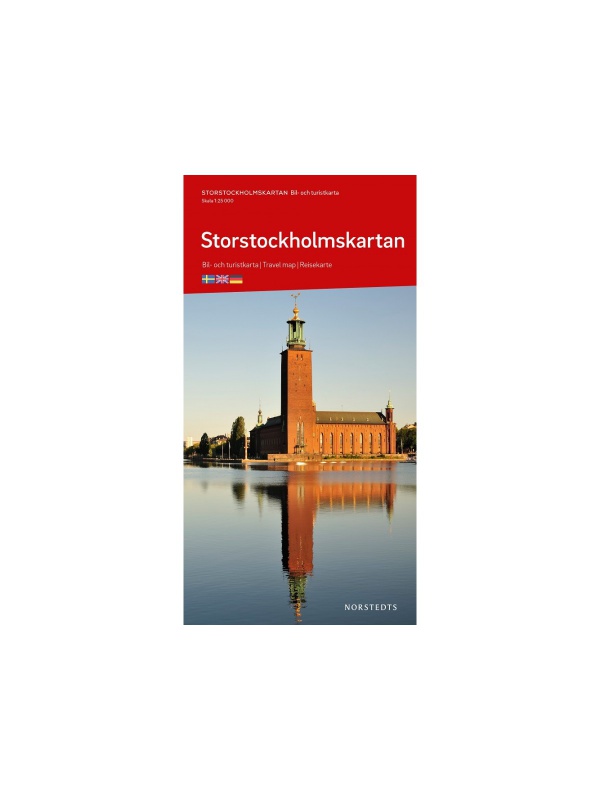
Map Stockholm 1:25 000 - Storstockholmskartan
Detailed autoturistic map of the capital of Sweden containing tourist and cycling signs, camping sites, camps, churches, tourist information centers, cultural and historical monuments. ). Scale 1:25 000, Released in Sweden in 2019.
Kč 351
In Stock
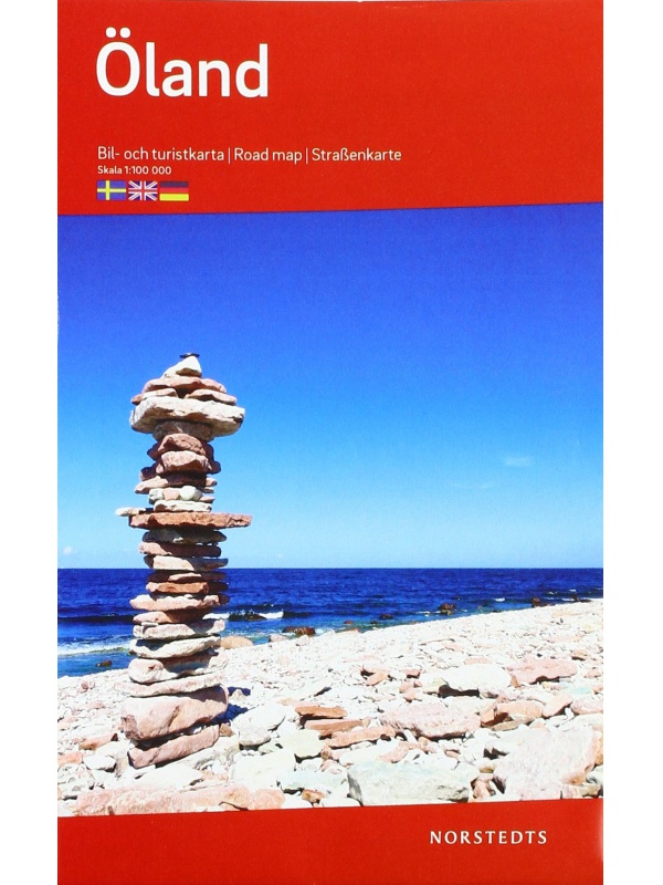
Map of Öland 1: 100 000
One-sided tourist map with hiking and biking trails, camping sites, camps, churches, tourist information centers, NP borders, cultural and historical monuments. The most interesting sites are marked with a number and separately described on the reverse side of the text (Swedish, English, German).
Kč 351
In Stock

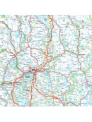
Map Sweden 6 - Norra Norrland - 1: 400,000
Part 6 of the detailed map of Sweden, scale 1: 400,000 - Norra Norrland area. Folded autoturistic map. Released in Sweden.
Kč 351
In Stock

Map Sweden 5 - Mellerstra Norrland - 1: 400,000
Part 5 of the detailed map of Sweden scale 1: 400 000 - Mellersta Norrland area. Folded autoturistic map. Released in Sweden.
Kč 351
In Stock