


Language:
Currency:

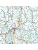

Automapa Jihozápadní Švédsko 1:600 000
Oboustranná skládaná automapa jihozápadního Švédska. Měřítko 1:250 000. Rejstřík míst + plánek center měst Göteborg, Oslo
Kč 361
In Stock

Automapa Švédsko 1:600 000
Oboustranná skládaná automapa celého Švédska. Měřítko 1:600 000. Rejstřík míst + plánek center měst Göteborg, Linköping, Stockholm, Sundsvall, Umeea, Uppsala
Kč 361
In Stock
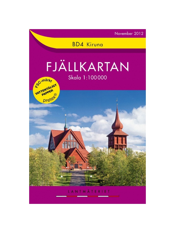
BD4 Kiruna Fjällkarta 1:100.000
A detailed tourist map of the area around the Swedish city of Kiruna. Suitable for tourist guides, travelers and adventurers. Trails for snowmobiles are also marked. The map is printed on paper that resists weather. Texts only in Swedish, clear information and legends in English and German.
Kč 494
zašleme do 24 hodin

BD6 Abisko-Kebnekaise-Narvik 1:100.000
A detailed tourist map of the Swedish National Park Abosko. Suitable for tourist guides, travelers and adventurers. Trails for snowmobiles are also marked. The map is printed on paper that resists weather. Texts only in Swedish, clear information and legends in English and German.
Kč 494
zašleme do 24 hodin

BD8 Kebnekaise - Saltoluokta - Tourist Map 1: 100,000
Detailed tourist map Kebnekaise - Saltoloukta. Suitable for tourist guides, travelers and adventurers. Roads for snowmobiles are also marked. The map is printed on paper that resists weather. Texts only in Swedish, well-arranged information and legend in English and German.
Kč 494
In Stock
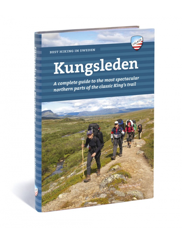
Best hiking in Sweden - KUNGSLEDEN - English
English translation of the book Fjällvandra längs Kungsleden. A complete guide to the most beautiful northern part of the legendary royal route. Describes the route Abisko - Kvikkjokk (English).
Kč 934
Out-of-Stock
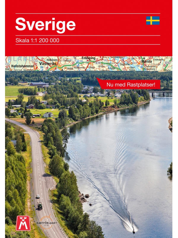
Comprehensive map of Sweden - Sverige med rasteplasser...
A simplified map of Sweden with roads, distances and landscape boundaries at a scale of 1:1.2 mil. Developed together with M-Sverige with the Tafikverket agency's database of Swedish rest areas. A total of 313 rest areas are marked on the map and named in the register. Traffic maps of Stockholm, Gothenburg and Malmö. Published in Sweden, information in...
Kč 197
In Stock
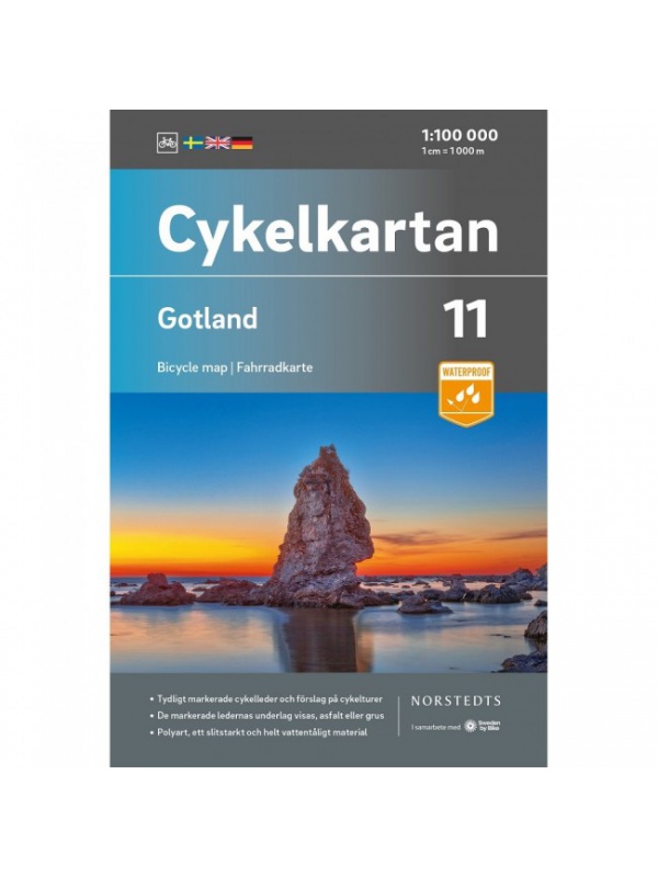
Cycling map of Gotland - Cykelkartan 11 - 1:90,000
Cycling map of the island of Gotland in the North Sea - part 11 of the series Sweden by Bike - GOTLAND. Made of waterproof paper. Released in Sweden. Scale 1:90,000 with texts in Swedish, labels also in English and German.
Kč 494
In Stock

Cycling map Stockholm - Cykelkartan 28 - 1:90 000
Stockholm and surroundings cycling map - part 28 SÖDRA ROSLAGEN / STOCKHOLM. The area of the port city of Nynäshamn is also added. Made of waterproof paper. Released in Sweden. Scale 1: 90.000 Texts in Swedish, descriptions in English.
Kč 494
In Stock

Cyklistická mapa Dalsland, Nörra Bohuslän - Cykelkartan...
Cyklistická mapa Dalsland, Nörra Bohuslän - část 20 ze série Sweden by Bike. Vyrobeno z nepromokavého papíru. Vydáno ve Švédsku. Měřítko 1:90.000 s texty ve švédštině, popisky i v angličtině a němčině.
Kč 494
Out-of-Stock

Cyklistická mapa Södra Bohuslän - Cykelkartan 17 - 1:90 000
Cyklistická mapa Södra Bohuslän - část 17 ze série Sweden by Bike. Vyrobeno z nepromokavého papíru. Vydáno ve Švédsku. Měřítko 1:90.000 s texty ve švédštině, popisky i v angličtině a němčině.
Kč 494
Out-of-Stock

Cyklistická mapa Västergötland, Göteborg - Cykelkartan 12...
Cyklistická mapa území Västergötland a města Göteborg - část 12 ze série Sweden by Bike. Vyrobeno z nepromokavého papíru. Vydáno ve Švédsku. Měřítko 1:90.000 s texty ve švédštině, popisky i v angličtině a němčině.
Kč 494
In Stock

Cyklistická mapa Vättern runt, norra - Cykelkartan 21 -...
Cyklistická mapa Vättern runt, norra - část 21 ze série Sweden by Bike. Vyrobeno z nepromokavého papíru. Vydáno ve Švédsku. Měřítko 1:90.000 s texty ve švédštině, popisky i v angličtině a němčině.
Kč 494
In Stock

Högalpin card Kebnekaise - tourist map 1:15,000
This is a unique map with many details that have never been shown on a map of Sweden's highest mountain. Map terrain information is based on aerial laser scanning. For the first time, cliffs, larger rocks, forests and waterways appear with true-to-life accuracy. The current extent of the glaciers and the fracture zones were created in collaboration with...
Kč 494
In Stock

Kungsleden: Kvikkjokk–Adolfström - tourist map 1:50,000
Tourist map of part of the Kungsleden (King's trail) hiking trail in northern Sweden, approximately 440 kilometers long, between Abisko National Park in the north and Hemavan in the south. Thanks to the Tyvek® material, it is completely waterproof and highly tear-resistant. Tyvek will not wear out in the crease or lose color with use.
Kč 549
In Stock

Map KUNGSLEDEN Abisko - Kebnekaise 1:50 000
One-sided tourist map with hiking and biking trails, camping sites, camps, churches, tourist information centers, NP borders, cultural and historical monuments. The most interesting sites are marked with a number and separately described on the reverse side in a text section (Swedish, English).
Kč 659
In Stock
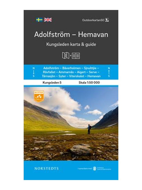
Map KUNGSLEDEN Adolfstrom - Hemavan 1:50 000
One-sided tourist map with hiking and biking trails, camping sites, camps, churches, tourist information centers, NP borders, cultural and historical monuments. The most interesting sites are marked with a number and separately described on the reverse side in a text section (Swedish, English).
Kč 659
In Stock
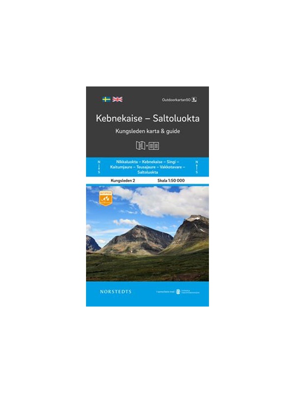
Map KUNGSLEDEN Kebnekaise - Saltoluokta 1:50 000
One-sided tourist map with hiking and biking trails, camping sites, camps, churches, tourist information centers, NP borders, cultural and historical monuments. The most interesting sites are marked with a number and separately described on the reverse side in a text section (Swedish, English).
Kč 659
In Stock

Map KUNGSLEDEN Kvikkjokk - Adolfstrom 1:50 000
One-sided tourist map with hiking and biking trails, camping sites, camps, churches, tourist information centers, NP borders, cultural and historical monuments. The most interesting sites are marked with a number and separately described on the reverse side in a text section (Swedish, English).
Kč 659
In Stock