


Language:
Currency:


Atlas KUNGSLEDEN 1:50 000 Friluftsatlas
A clear atlas of the Kungsleden hiking trail. Map containing tourist and cycling markings, also marked campgrounds, camps, churches, tourist information centers, the borders of the National Park, cultural and historical monuments. The most interesting localities are marked with a number and described separately on the reverse side in the text part...
Kč 989
Out-of-Stock
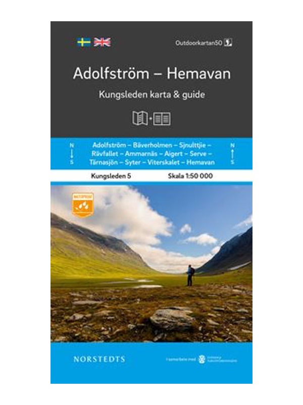
Map KUNGSLEDEN Adolfstrom - Hemavan 1:50 000
One-sided tourist map with hiking and biking trails, camping sites, camps, churches, tourist information centers, NP borders, cultural and historical monuments. The most interesting sites are marked with a number and separately described on the reverse side in a text section (Swedish, English).
Kč 659
In Stock

Map KUNGSLEDEN Kvikkjokk - Adolfstrom 1:50 000
One-sided tourist map with hiking and biking trails, camping sites, camps, churches, tourist information centers, NP borders, cultural and historical monuments. The most interesting sites are marked with a number and separately described on the reverse side in a text section (Swedish, English).
Kč 659
In Stock

Map KUNGSLEDEN Abisko - Kebnekaise 1:50 000
One-sided tourist map with hiking and biking trails, camping sites, camps, churches, tourist information centers, NP borders, cultural and historical monuments. The most interesting sites are marked with a number and separately described on the reverse side in a text section (Swedish, English).
Kč 659
In Stock

Map KUNGSLEDEN Saltoluokta - Kvikkjokk 1:50 000
One-sided tourist map with hiking and biking trails, camping sites, camps, churches, tourist information centers, NP borders, cultural and historical monuments. The most interesting sites are marked with a number and separately described on the reverse side in a text section (Swedish, English).
Kč 659
In Stock
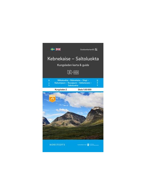
Map KUNGSLEDEN Kebnekaise - Saltoluokta 1:50 000
One-sided tourist map with hiking and biking trails, camping sites, camps, churches, tourist information centers, NP borders, cultural and historical monuments. The most interesting sites are marked with a number and separately described on the reverse side in a text section (Swedish, English).
Kč 659
In Stock
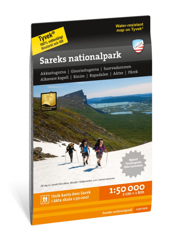
Sarek National Park - turistická mapa 1:50.000
Podrobná turistická mapa švédského národního parku Sarek. Vhodná pro turistické průvodce, cestovatele a dobrodruhy. Vyznačeny i cesty pro sněžné skútry. Mapa je vytištěna na papír, který odolá počasí. Texty pouze ve švédštině, přehledné informace a legenda i v angličtině a němčině.
Kč 549
Out-of-Stock
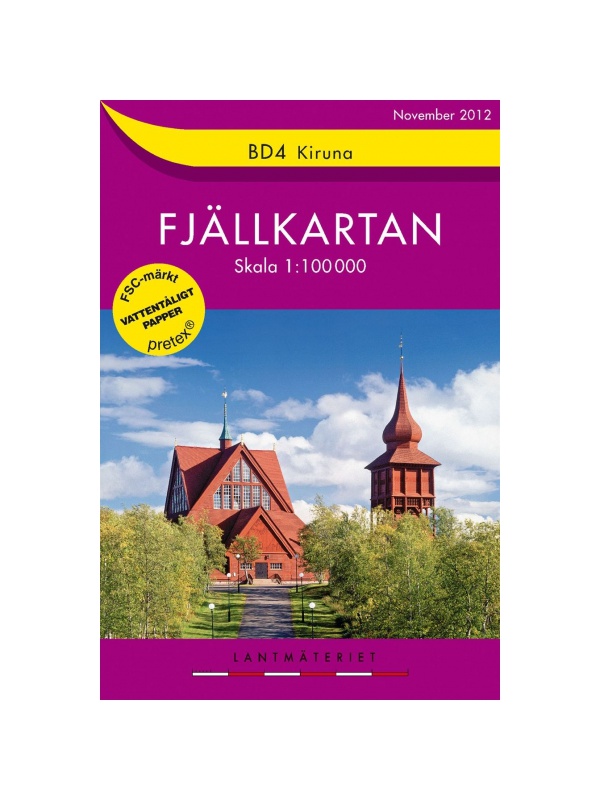
BD4 Kiruna Fjällkarta 1:100.000
A detailed tourist map of the area around the Swedish city of Kiruna. Suitable for tourist guides, travelers and adventurers. Trails for snowmobiles are also marked. The map is printed on paper that resists weather. Texts only in Swedish, clear information and legends in English and German.
Kč 494
zašleme do 24 hodin

BD6 Abisko-Kebnekaise-Narvik 1:100.000
A detailed tourist map of the Swedish National Park Abosko. Suitable for tourist guides, travelers and adventurers. Trails for snowmobiles are also marked. The map is printed on paper that resists weather. Texts only in Swedish, clear information and legends in English and German.
Kč 494
zašleme do 24 hodin

BD10 Sarek National Park - tourist map 1: 100,000
Detailed tourist map of Sarek National Park, Sweden. Suitable for tourist guides, travelers and adventurers. Roads for snowmobiles are also marked. The map is printed on paper that resists weather. Texts only in Swedish, well-arranged information and legend in English and German.
Kč 494
Out-of-Stock

BD8 Kebnekaise - Saltoluokta - Tourist Map 1: 100,000
Detailed tourist map Kebnekaise - Saltoloukta. Suitable for tourist guides, travelers and adventurers. Roads for snowmobiles are also marked. The map is printed on paper that resists weather. Texts only in Swedish, well-arranged information and legend in English and German.
Kč 494
In Stock
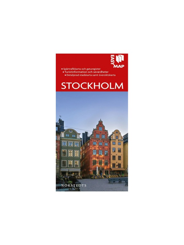
Map of Stockholm 1:12 500 - Stockholm Easy Map
A very detailed map of the capital of Sweden containing tourist and cycling signs, campgrounds, camps, churches, tourist information centers, cultural and historical monuments. ). Scale 1:12 500, Released in Sweden in 2019.
Kč 351
In Stock
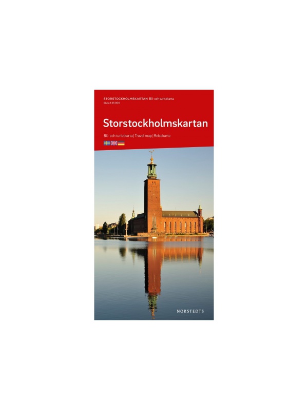
Map Stockholm 1:25 000 - Storstockholmskartan
Detailed autoturistic map of the capital of Sweden containing tourist and cycling signs, camping sites, camps, churches, tourist information centers, cultural and historical monuments. ). Scale 1:25 000, Released in Sweden in 2019.
Kč 351
In Stock
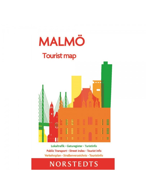
Map Malmö 1:10 000 - Tourist Map
Detailed autotourism map of Malmö containing tourist and cycling markings, further marked by public transport routes, camps, camps, churches, tourist information centers, cultural and historical monuments. Scale 1:17 000, Published in Sweden in 2019.
Kč 165
Out-of-Stock
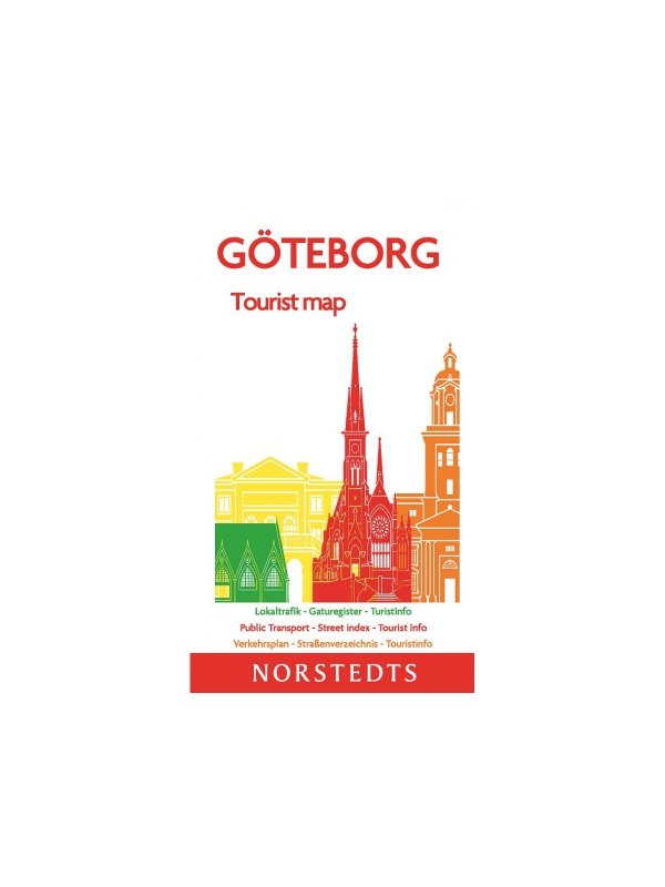
Map Göteborg 1:10 000 - Tourist Map
Detailed autotouristic map of the city of Gothenburg containing hiking and biking signs, marked by public transport routes, campgrounds, campsites, churches, tourist information centers, cultural and historical monuments. ). Scale 1:10 000, Released in Sweden in 2019.
Kč 165
In Stock