


Language:
Currency:


Atlas KUNGSLEDEN 1:50 000 Friluftsatlas
A clear atlas of the Kungsleden hiking trail. Map containing tourist and cycling markings, also marked campgrounds, camps, churches, tourist information centers, the borders of the National Park, cultural and historical monuments. The most interesting localities are marked with a number and described separately on the reverse side in the text part...
Kč 989
Out-of-Stock
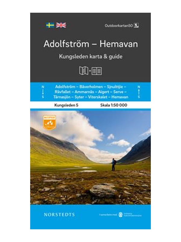
Map KUNGSLEDEN Adolfstrom - Hemavan 1:50 000
One-sided tourist map with hiking and biking trails, camping sites, camps, churches, tourist information centers, NP borders, cultural and historical monuments. The most interesting sites are marked with a number and separately described on the reverse side in a text section (Swedish, English).
Kč 659
In Stock

Map KUNGSLEDEN Kvikkjokk - Adolfstrom 1:50 000
One-sided tourist map with hiking and biking trails, camping sites, camps, churches, tourist information centers, NP borders, cultural and historical monuments. The most interesting sites are marked with a number and separately described on the reverse side in a text section (Swedish, English).
Kč 659
In Stock

Map KUNGSLEDEN Abisko - Kebnekaise 1:50 000
One-sided tourist map with hiking and biking trails, camping sites, camps, churches, tourist information centers, NP borders, cultural and historical monuments. The most interesting sites are marked with a number and separately described on the reverse side in a text section (Swedish, English).
Kč 659
In Stock

Map KUNGSLEDEN Saltoluokta - Kvikkjokk 1:50 000
One-sided tourist map with hiking and biking trails, camping sites, camps, churches, tourist information centers, NP borders, cultural and historical monuments. The most interesting sites are marked with a number and separately described on the reverse side in a text section (Swedish, English).
Kč 659
In Stock
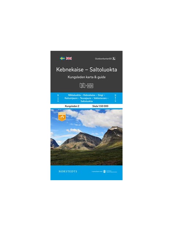
Map KUNGSLEDEN Kebnekaise - Saltoluokta 1:50 000
One-sided tourist map with hiking and biking trails, camping sites, camps, churches, tourist information centers, NP borders, cultural and historical monuments. The most interesting sites are marked with a number and separately described on the reverse side in a text section (Swedish, English).
Kč 659
In Stock

Vasaloppet Arena 1:50 000 - mapa závodu
Mapa legendárního běžkařského závodu Vasaloppet ze Salenu do Mory. Mapa obsahuje i turistickou trasu (Vasaloppsleden) a cyklistickou trasu (CykelVasaleden). Trasa měří cca 90 km a vede přes známá místa jako Mangsbodarna, Evertsberg, Hogberg do městečka Mora, kde se můžete proběhnout po cílové rovince. Vydáno ve Švédsku. Texty ve švédštině, popisky i v...
Kč 549
In Stock

Cyklistická mapa Västergötland, Göteborg - Cykelkartan 12...
Cyklistická mapa území Västergötland a města Göteborg - část 12 ze série Sweden by Bike. Vyrobeno z nepromokavého papíru. Vydáno ve Švédsku. Měřítko 1:90.000 s texty ve švédštině, popisky i v angličtině a němčině.
Kč 494
In Stock

Cycling map Stockholm - Cykelkartan 28 - 1:90 000
Stockholm and surroundings cycling map - part 28 SÖDRA ROSLAGEN / STOCKHOLM. The area of the port city of Nynäshamn is also added. Made of waterproof paper. Released in Sweden. Scale 1: 90.000 Texts in Swedish, descriptions in English.
Kč 494
In Stock