Road maps Norway

Automapy Norsko

Přesné a podrobné mapy. Obsahují aktuální stavy silnic i plánované nové úseky. Dovíte se kde je třeba zastavit a kudy povede trasa vašeho výletu.

Automapy Norsko

Grid
List

There are 28 products.

Showing 1-20 of 28 item(s)

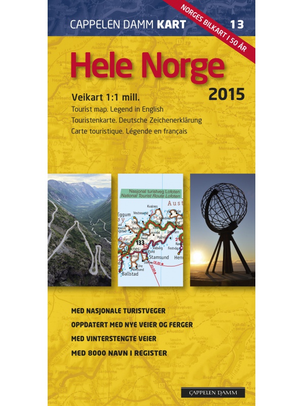
Veikart Norge 1:1mil. - map of Norway

Norwegian folding car park and the Spitsbergen archipelago with a rich register of places on the back. The latest edition of the Road Statement to the beginning of 2017. Table of Distances. Labels in Norwegian, English and German. Scale 1: 1 mil.
Kč 659
zašleme do 24 hodin
View Detail

Veikart Nord-Norge Nord 1:500 000

The last 5th part of north Norway's folding automapap (northern part) with a rich register of places on the back. Includes areas and cities of Tromso, Alta, Hammerfest, Honningsvag, Nordkapp, Vardo, Kirkenes. The latest edition of the Road Statement to Begin 2016. The Distance Table. Labels in Norwegian, English and German. Scale 1: 500,000.
Kč 659
zašleme do 24 hodin
View Detail

Varanger, Nasjonale turistveger

Map of the National Autoturist Route along the Varang peninsula in the 1 / 100,000 scale. There are also 5 quality views from this area of ​​Norway. The stacked map is in the hardboard cover. Information in English, Norwegian and German
Kč 659
Out-of-Stock

Valdresflye, Nasjonale turistveger

Map of the National Autoturist Route through the Valdresfly Pass at a scale of 1: 50,000. There are also 5 quality views from this area of ​​Norway. The stacked map is in the hardboard cover. Information in English, Norwegian and German.
Kč 659
In Stock
View Detail

Ryfylke, Nasjonale turistveger

Map of the National Autopathic Route by the Ryfylke Region above Stavanger at a scale of 1: 105,000. There are also 5 quality views from this area of ​​Norway. The stacked map is in the hardboard cover. Information in English, Norwegian and German.
Kč 659
Out-of-Stock

Rondane, Nasjonale turistveger

Map of the National Autoturist Route through the Rondane National Park at a scale of 1: 55,000. There are also 5 quality views from this area of ​​Norway. The stacked map is in the hardboard cover. Information in English, Norwegian and German.
Kč 659
In Stock
View Detail

Roadmap Norway 2016 1:1,1 mil. CK13 Hele Norge

Norwegian folding car park and the Spitsbergen archipelago with a rich register of places on the back. The latest edition of the Road Statement to Begin 2016. The Distance Table. Labels in Norwegian, English and German. Scale 1: 1.1 million
Kč 714
zašleme do 24 hodin
View Detail

Mapa Aurlandsfjellet, Nasjonale turistveger

Aurlandsfjellet National Road Map (Route No. 243) at a scale of 1: 50,000. It features famous places like Stegastein, Naeroeyfjord, the Laerdal tunnel. There are also 5 quality views from this area of ​​Norway. The stacked map is in the hardboard cover. Information in English, Norwegian and German.
Kč 659
In Stock
View Detail

Map of Norway 1: 800 000 - Norge Easy Map

One-sided tourist map with hiking and biking trails, camping sites, camps, churches, tourist information centers, NP borders, cultural and historical monuments. The most interesting sites are marked with a number and separately described on the reverse side of the text (Swedish, English, German). scale 1: 800,000
Kč 351
Out-of-Stock

Map Lofoten, Nasjonale turistveger

Map of the National Car Route on the Lofoten Archipelago at a scale of 1: 100,000. There are also 5 quality views from this area of ​​Norway. The stacked map is in the hardboard cover. Information in English, Norwegian and German
Kč 659
Out-of-Stock

Map Jaeren, Nasjonale turistveger

Map of the National Carriage Route through the coastal region Jaeren under Stavanger at the scale of 1: 100,000. There are also 5 quality views from this area of ​​Norway. The stacked map is in the hardboard cover. Information in English, Norwegian and German.
Kč 659
In Stock
View Detail

Map Hardangervidda, Nasjonale turistveger

Map of the National Autoturist Route through the Hardangervidda Plateau at a scale of 1: 50,000. There are also 5 quality views from this area of ​​Norway. The stacked map is in the hardboard cover. Information in English, Norwegian and German.
Kč 659
Out-of-Stock

Map Hardanger, Nasjonale turistveger

Map of the National Carriage Route along the Hardanger Fjord at a scale of 1: 75,000. There are also 5 quality views from this area of ​​Norway. The stacked map is in the hardboard cover. Information in English, Norwegian and German.
Kč 659
Out-of-Stock

Helgelandskysten, Nasjonale turistveger

Map of the National Car Travel Route along the coast along Route 17 - Helgelandskysten on a scale of 1: 250,000. There are also 5 quality views from this area of ​​Norway. The stacked map is in the hardboard cover. Information in English, Norwegian and German.
Kč 659
Out-of-Stock