Norway 1:50 000

Norsko 1:50 000

Do Norska jedině s mapou od nás. Dovážíme přesné a podrobné mapy vydané v Norsku. Obsahují aktuální stavy silnic i plánované nové úseky. Dovíte se kde je třeba zastavit a kudy povede trasa vašeho výletu.

Norsko 1:50 000

Grid
List

There are 40 products.

Showing 1-20 of 40 item(s)

Filter By

Availability

Availability

Brand

Brand

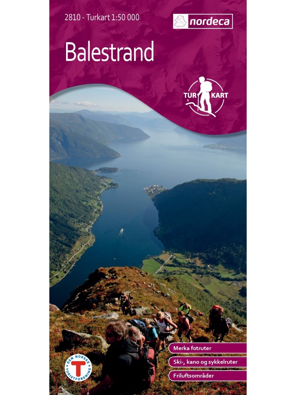
Balestrand Tourist Map 1:50 000

A detailed tourist map of the Sognefjord, includes Balestrand, Vangsnes, Hella, Dragsvik, Gaularfjellet Mountain Road. Detailed map in 1:50 000 scale. Suitable for navigating on and off marked trails. Released in Norway.
Kč 714
In Stock
View Detail

Beitostolen tourist map 1:50 000

Detailed tourist map of the popular area for downhill and cross-country skiers Beitostolen. The bonus map also includes the crossing of the Besseggen ridge and the hike to the Bitihorn mountain in Jotunheimen Park. Detailed map in 1:50 000 scale. Suitable for navigating on and off marked trails. Released in Norway.
Kč 714
In Stock
View Detail

Birkebeiner -  1:50.000

A detailed tourist map of the popular Birken (Birkebeiner) from Reny to Lillehammer. The race has its well-known winter version of Birkebeinerrennet, but also cross-country and cycling. Detailed map in 1: 100,000 scale. Detailed mapping of hiking trails and mountain chalets. Suitable for navigation on and off marked roads. Released in Norway.
Kč 659
In Stock
View Detail

Folgefonna 1:50 000 TOPO 3000

Detailed tourist map of the Folgefonna glacier and the surrounding area, including places like Tyssedal, Trolltunga and others. Made of weather-resistant paper. Double-sided, scale 1:50 000. Includes over 3000 km2. Released in Norway.
Kč 769
Out-of-Stock

Hammerfest Tourist Map, Kvaloya + Soroya, 1: 50.000 - 2 maps

Two maps in one package. Detailed tourist map of the fishing area of Soroya, Kvaloya, Hammerfest. It contains parts of the districts of Kvalsund, Hasvik and Alta in the north of Norway. Detailed map in scale 1:50 000. Detailed drawing of hiking trails and mountain huts. Suitable for navigating on and off marked trails. Released in Norway.
Kč 1,209
In Stock
View Detail

Hiking map Lysefjorden 1:50.000

Detailed tourist map of Lysefjorden, Preikestolen, Kjerag, etc. Detailed map in 1:50 000 scale. Detailed map of hiking trails and mountain chalets. Suitable for navigation on and off marked roads. Released in Norway.
Kč 714
Out-of-Stock

Jotunheimen West - tourist map 1:50 000 Phone Maps

Detailed tourist map of the western part of the Norwegian Jotunheimen National Park and the southern and central part of the Breiheimen National Park. Made of weather-resistant paper. Scale 1:50 000. You can upload the map for free to your mobile phone using PhoneMaps!
Kč 439
In Stock
View Detail

Lysefjorden 1:50 000 TOPO 3000

Detailed map of Lysefjorden and places of interest, including Preikestolen - Lysebotn - Sandnes ost - Frafjord, Kjerag and more. Made of weather-resistant paper. Double-sided, scale 1:50 000. Includes over 3000 km2. Released in Norway.
Kč 769
In Stock
View Detail

Map of Nordkapp - Norge Serien 1:50 000

Map of Nordkappa, the northernmost Cape of Norway on the island of Mageroya. contains the town of Honningsvag, the fishing villages kamoyvaer, Gjervaer, Skarsvag and the route to Knivskjelodden. Detailed scale 1:50 000.
Kč 769
In Stock
View Detail