


Language:
Currency:


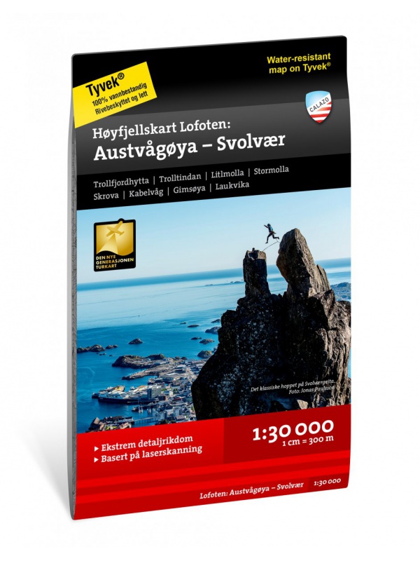
Hoyfjellskart Lofoten: Austvagoya - Svolvar - tourist map...
One of three unique maps with lots of details that have never been shown on a Lofoten map. The terrain information on the map is based on a laser scan from an airplane. For the first time, mountain slopes, larger rocks, streams and glaciers appear with an accuracy that corresponds to reality. The 1:30,000 scale map provides good support for those who go...
Kč 549
In Stock
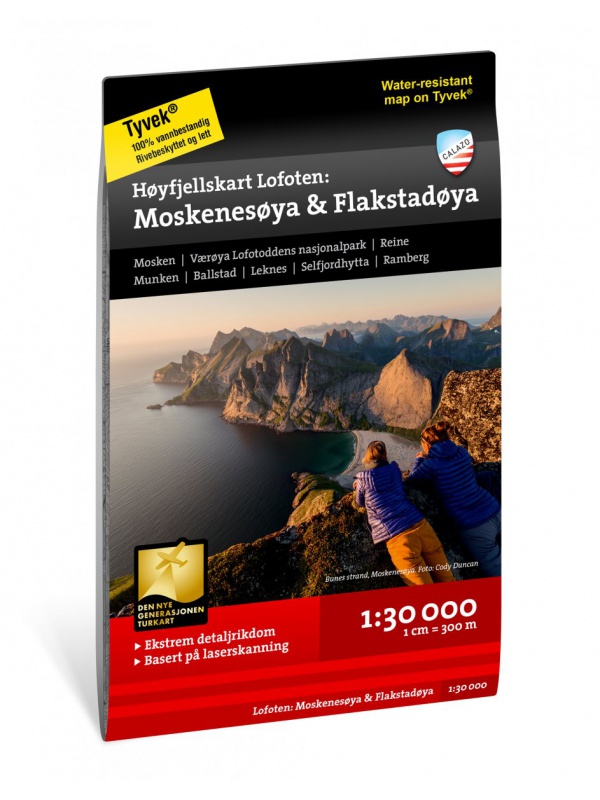
Hoyfjellskart Lofoten: Moskenes - tourist map Lofoten...
One of three unique maps with lots of details that have never been shown on a Lofoten map. The terrain information on the map is based on a laser scan from an airplane. For the first time, mountain slopes, larger rocks, streams and glaciers appear with an accuracy that corresponds to reality. The 1:30,000 scale map provides good support for those who go...
Kč 549
Out-of-Stock

Galdhopiggen 1:25.000, hiking map
Detailed tourist map of the highest mountain Scandinavia Galdhopiggen in Jotunheimen Park. Drawn access roads from the catchment of Juvasshytta and the village of Spiterstulen. A detailed map in the 1:25 000 scale. Winter skiing routes are also marked. Suitable for navigation on and off marked roads. Released in Norway.
Kč 659
In Stock

Bergen - 7 fjellsturen - 1:25.000
A detailed tourist map of the popular march over 7 peaks around Bergen - Bergen - 7 fjellsturen. Detailed map at 1:25 000. Released in Norway. Explanations in Norwegian and English. Summary information about the map in English.
Kč 659
Out-of-Stock
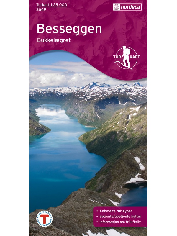
Tourist Map Besseggen 1: 25.000
Detailed tourist map of the Bessegen ridge in Jotunheimen Park. A detailed map in the 1:25 000 scale. Winter skiing routes are also marked. Suitable for navigation on and off marked roads. Released in Norway.
Kč 659
Out-of-Stock

Hurrungane Tourist Map 1: 25.000
Detailed tourist map of Hurrungane mountains in the Jotunheimen park area near the 55 Sognefjellet road. Includes Fannaraki Glacier, Sognefjellshytta, Fannarakhytta, Grandalen, Ingjerdbu, Vettli Gard. Detailed map in 1:25 000 scale. Suitable for navigating on and off marked trails. Released in Norway.
Kč 714
In Stock

Geirangerfjorden 1:25 000 Tourist Map
The most detailed tourist map of the Geiranger fjord in 1:25 000 scale. Suitable for navigating on and off marked trails. Released in Norway.
Kč 714
Out-of-Stock

Tourist map Romsdalseggen 1:25 000
The most detailed tourist map of Romsdalseggen, includes Trollstigen, Trollveggen, Romsdalshornet, Andaslnes, Isfjorden Detailed map in 1:25 000 scale. Suitable for navigating on and off marked trails. Released in Norway.
Kč 714
In Stock