


Language:
Currency:

Active filters
- Availability: Not available


Atlas KUNGSLEDEN 1:50 000 Friluftsatlas
A clear atlas of the Kungsleden hiking trail. Map containing tourist and cycling markings, also marked campgrounds, camps, churches, tourist information centers, the borders of the National Park, cultural and historical monuments. The most interesting localities are marked with a number and described separately on the reverse side in the text part...
Kč 989
Out-of-Stock
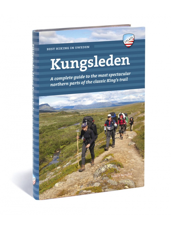
Best hiking in Sweden - KUNGSLEDEN - English
English translation of the book Fjällvandra längs Kungsleden. A complete guide to the most beautiful northern part of the legendary royal route. Describes the route Abisko - Kvikkjokk (English).
Kč 934
Out-of-Stock
Experience Guide South Norway 1: 250,000, Opplevelsesguide
Map with tips for the southernmost part of Norway from the E39 and E18 along the coast from Tonsberg to Kristiansadn to Stavanger. It ends under the Hardangervidda National Park. One in a scale of 1: 250,000. The stacked map contains tips on places of interest with information and contacts. Labels in English, Norwegian and German.
Kč 659
Out-of-Stock

Dovrefjell 1:250 000, Oplevelsesguide
Map with tips for the longest valley of central Norway in one on a scale of 1: 250,000. The stacked map contains tips on places of interest with information and contacts. Includes the area part along the E6 Dombas - Trondheim road, and the Romsdalen Dombas - Molde Valley and the Molde - Trondheim via Kristiansund. Labels in English, Norwegian and German.
Kč 659
Out-of-Stock
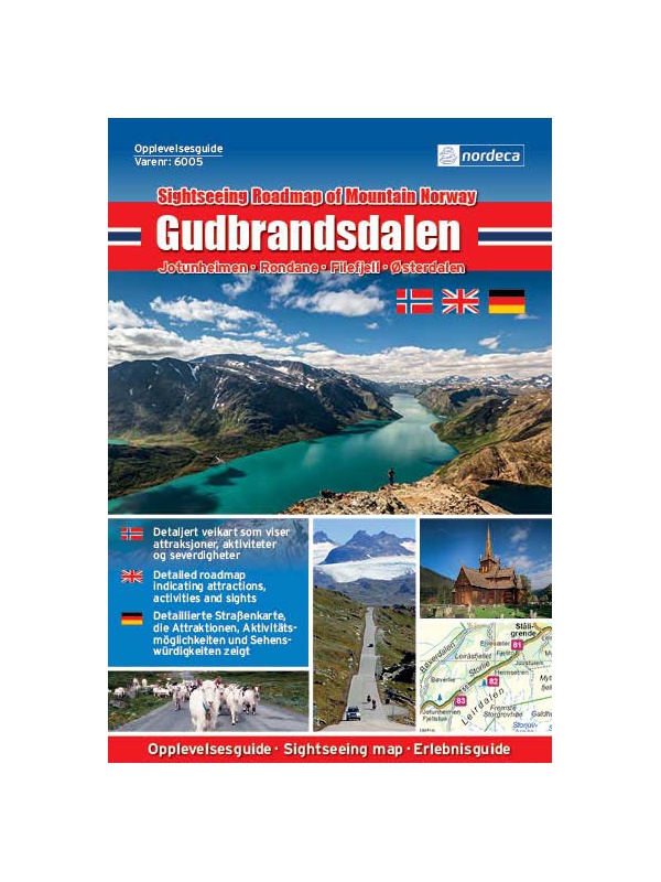
Experienced Guide to Gudbrandsdalen 1:250 000,...
Map with tips for the longest valley of central Norway in one on a scale of 1: 250,000. The stacked map contains tips on places of interest with information and contacts. Includes the area part along the E6 Hamar - Dombas Road, and the Osterdalen Elverum - Alvdal Road No. 3 and the Sognefjellet and Filefjell Highways. Labels in English, Norwegian and German.
Kč 659
Out-of-Stock
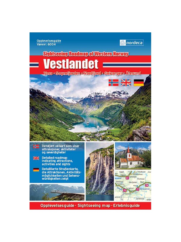
Experienced Guide to Western Norway 1: 250,000,...
Map with tips for the west coast of Norway in one on a scale of 1: 250,000. The stacked map contains tips on places of interest with information and contacts. Includes coastal road E39 - Bergen - Alesund and Bergen - Voss - Sogndal to Jolster. Labels in English, Norwegian and German.
Kč 659
Out-of-Stock
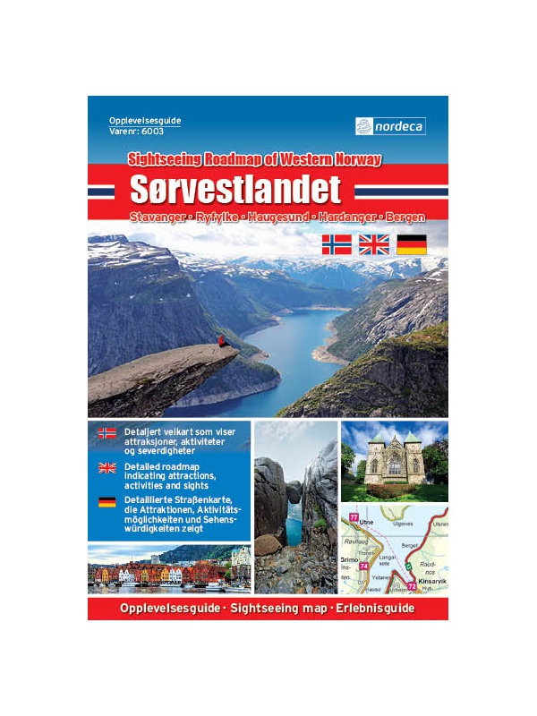
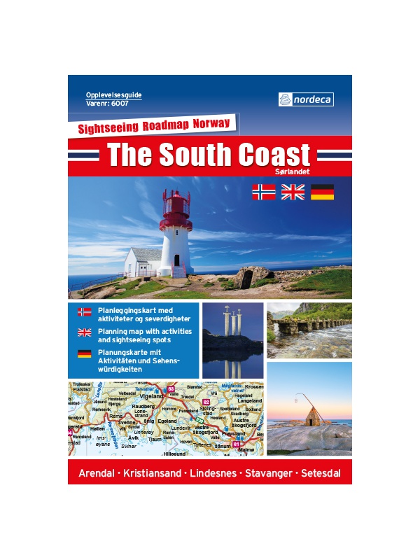
Experienced Guide to Southwest Norway 1: 250,000,...
Map with tips for southwest Norway in one on a scale of 1: 250,000. The stacked map contains tips on places of interest as well as information and contacts. Jaren and Stavanger via Haugesund to Bergen, from Ryfylke and Hardanger to Vosse, through Setesdal, to Haukeli and Roldal. Labels in English, Norwegian and German.
Kč 659
Out-of-Stock

Experienced Guide to Lofoten 1:250 000, Opplevelsesguide
Map with tips for Lofoten in one on a scale of 1: 250,000. The folded map contains tips on interesting places on Lofotech with information and contacts. The area from Bodo via Salten, Rognan and Fauske, Ofoten with Narvik, Vesteralen - Andoya and Lofoten up to the village A. Labels in English, Norwegian and German.
Kč 659
Out-of-Stock

Island - Turistický průvodce Rother
A new edition of the popular guide to Iceland with 50 selected hiking trails through the island of fire and ice. Recommended tips, travel advice and photos include a small travel atlas. Booklet, 149 pp., 11.5 x 16.5 cm.
Kč 328
Out-of-Stock

Norway - South - Tourist guide Rother
The new edition of the popular South Norwegian guide, recommended tips, contains a small travel atlas. Booklet, 176 pp., 11.5 x 16.5 cm
Kč 328
Out-of-Stock