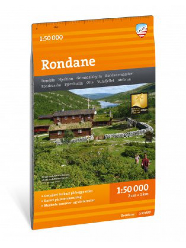
Turkart Rondane - tourist map 1:50,000

9789189371682
This double-sided hiking map covers the whole of Norway's oldest national park, Rondane, with classic hiking destinations such as Rondvassbu, Bjornhollia, Rondeslottet (2178 nm) and Hogronden (2115 nm). The map covers all the most popular mountain areas, marked hiking trails in the vicinity, DNT cabins and private accommodation cabins. It shows marked summer routes in the area, it works just as well in winter with marked winter routes and groomed slopes. Thanks to the Tyvek® material, it is completely waterproof and highly tear-resistant.
Kč 549

(Kč 549 ks)

Tax included
Quantity
Out-of-Stock


  Reliable store

verified by customers

This double-sided hiking map covers the whole of Norway's oldest national park, Rondane, with classic hiking destinations such as Rondvassbu, Bjornhollia, Rondeslottet (2178 nm) and Hogronden (2115 nm). The map covers all the most popular mountain areas, marked hiking trails in the vicinity, DNT cabins and private accommodation cabins. It shows marked summer routes in the area, it works just as well in winter with marked winter routes and groomed slopes. Texts only in Norwegian, clear information and legend also in English. Thanks to the Tyvek® material, it is completely waterproof and highly tear-resistant. Tyvek will not wear out in the crease or lose color with use.

You might also like

chat Comments (0)