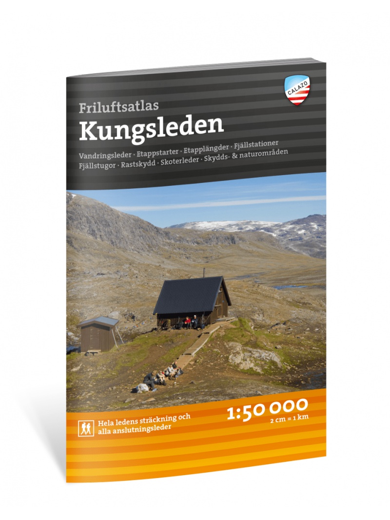
Atlas KUNGSLEDEN 1:50 000 Friluftsatlas
A clear atlas of the Kungsleden hiking trail. Map containing tourist and cycling markings, also marked campgrounds, camps, churches, tourist information centers, the borders of the National Park, cultural and historical monuments. The most interesting localities are marked with a number and described separately on the reverse side in the text part (Swedish, English).

 Reliable store
verified by customers
Detailed map section Abisko - Kebnekaise area displays Abisko - Kebnekaise
- complete network of roads and highways with traffic distances
- all seats
- selected thematic content (castles, chateaux, monasteries, camps, etc.)
- forests and shaded terrain are part of the map
- the register of settlements is pasted in a separate notebook
- folded car map at a scale of 1: 50,000 (1 cm = 0.5 kilometers)
You might also like
A detailed tourist map of the Swedish National Park Abosko. Suitable for tourist guides, travelers and adventurers. Trails for snowmobiles are also marked. The map is printed on paper that resists weather. Texts only in Swedish, clear information and legends in English and German.
Kč 494
zašleme do 24 hodin
BD4 Kiruna Fjällkarta 1:100.000
A detailed tourist map of the area around the Swedish city of Kiruna. Suitable for tourist guides, travelers and adventurers. Trails for snowmobiles are also marked. The map is printed on paper that resists weather. Texts only in Swedish, clear information and legends in English and German.
Kč 494
zašleme do 24 hodin
Vasaloppet Arena 1:50 000 - mapa závodu
Mapa legendárního běžkařského závodu Vasaloppet ze Salenu do Mory. Mapa obsahuje i turistickou trasu (Vasaloppsleden) a cyklistickou trasu (CykelVasaleden). Trasa měří cca 90 km a vede přes známá místa jako Mangsbodarna, Evertsberg, Hogberg do městečka Mora, kde se můžete proběhnout po cílové rovince. Vydáno ve Švédsku. Texty ve švédštině, popisky i v...
Kč 549
In Stock
BD8 Kebnekaise - Saltoluokta - Tourist Map 1: 100,000
Detailed tourist map Kebnekaise - Saltoloukta. Suitable for tourist guides, travelers and adventurers. Roads for snowmobiles are also marked. The map is printed on paper that resists weather. Texts only in Swedish, well-arranged information and legend in English and German.
Kč 494
In Stock
Map KUNGSLEDEN Kebnekaise - Saltoluokta 1:50 000
One-sided tourist map with hiking and biking trails, camping sites, camps, churches, tourist information centers, NP borders, cultural and historical monuments. The most interesting sites are marked with a number and separately described on the reverse side in a text section (Swedish, English).
Kč 659
In Stock
chat
Comments (0)


