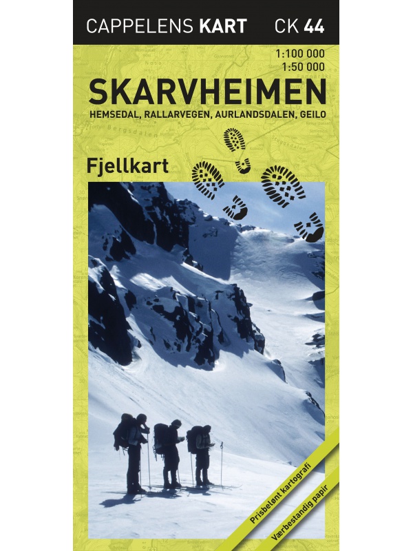
Trollheimen-Dovre CK43 - hiking map 1:100/1:50000.
A detailed tourist map of the popular areas of Hemsedal, Geilo and Rallarvegen or Aurlandsdalen. A clear part on one side of a scale of 1: 100,000, more detailed for the Hemsedal region, Geilo at a scale of 1:50 000. Released in Norway.
verified by customers
A detailed tourist map of the popular areas of Hemsedal, Geilo and Rallarvegen or Aurlandsdalen.
A clear part on one side at a scale of 1: 100,000, more detailed for the Hemsedal region, Geilo on a detailed scale of 1:50 000.
Shaded terrain for a better overview.
Suitable for navigation on and off marked roads.
Made of weather-resistant paper.
Scale 1: 100,000/1: 50,000.
Made in Norway.
You might also like
Hiking map Dovrefjell Snohetta 1:50.000
error Your review appreciation cannot be sent
feedback Report comment
check_circle Report sent
error Your report cannot be sent
Write your review
check_circle Review sent
error Your review cannot be sent
![Trollheimen-Dovre - turistická mapa Trollheimen-Dovre - turistická mapa](https://www.norskysvetr.cz/6154-large_default/trollheimen-dovre-ck43-tourist-map-1-100-1-50-ths.jpg)
A detailed tourist map of the popular areas of Hemsedal, Geilo and Rallarvegen or Aurlandsdalen. A clear part on one side of a scale of 1: 100,000, more detailed for the Hemsedal region, Geilo at a scale of 1:50 000. Released in Norway.